37
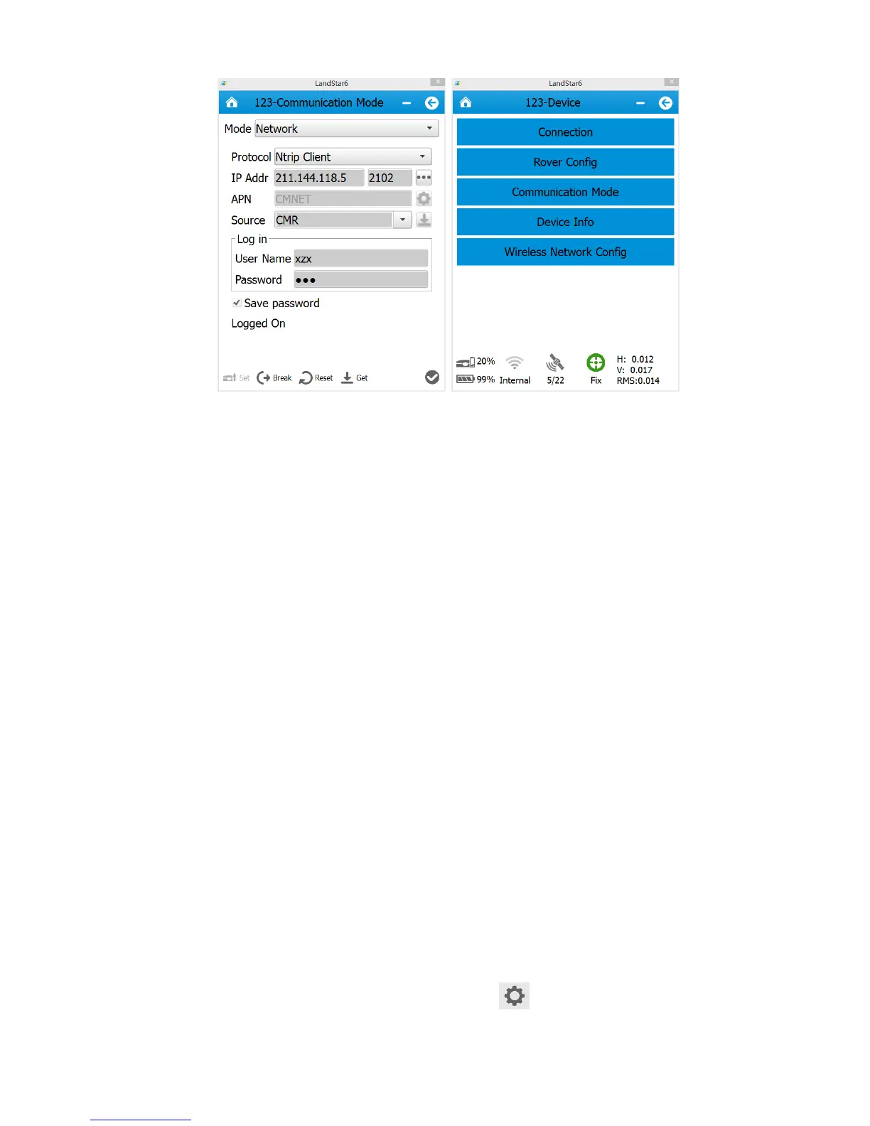
Go back to the initial interface of Landstar6. Data light flashes normally when the rover’s
receiving, and rover has been started successfully.
6. Survey
Users can start measurement when the rover is in Fix status. Open LanStar6, click
[Survey]→[Point Survey]. In practice, users usually use local coordinates. When the rover
has got fix solution, the recorded points in LandStar6 are plane coordinates that have not
been converted. If users want to get coordinates in line with previous researches, Point
Adjust is required to be done to acquire conversion parameters or users can use 7
Parameters directly.
6.1 Assisted Measurement System
6.1.1 Bubble, Compass Calibration
If users need to use auto tilt survey(compensation point measurement), some settings need
to be done.
1. Enter Point Survey interface, then click [Set ], as shown in figure1
 Loading...