Do you have a question about the Garmin AQUAMAP 10x2 Series and is the answer not in the manual?
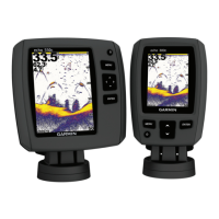
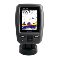
| Water rating | IPX7 |
|---|---|
| Supports DSC (displays position data from DSC-capable VHF radio) | Yes |
| Tide tables | Yes |
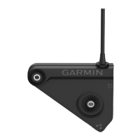
| Antenna | Internal |
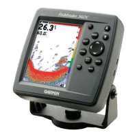
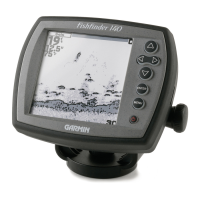
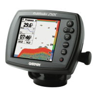
| Sonar capabilities | Yes |
| Supports AIS (tracks target ships position) | Yes |
| Sonar Type | CHIRP |
| Frequency | Traditional: 50/77/83/200kHz |
| Depth Capability | Traditional: 2, 300 ft |
| GPS | Yes |
| Connectivity | NMEA 0183 |
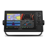
Explains the device layout, buttons, and their functions.
Covers memory cards, manuals, software updates, and GPS acquisition.
Personalize home screen, favorites, combos, data overlays, and manage custom presets.
Configure vessel type, data fields, and manage custom settings.
Explore chart types, adjust display settings, understand symbols, and view navaid details.
Navigate using Go To, Routes, Auto Guidance, and create custom boundaries.
Create, manage, and navigate using waypoints, tracks, and understand AIS data.
Access tide, current, celestial, and almanac information.
Understand AIS symbols, track vessels, and manage AIS distress signals.
Configure vessel type, use starting line guidance, laylines, and keel offset for sailing.
Engage and control the autopilot, including steering patterns and Shadow Drive.
Explore sonar views like Traditional, ClearVü, SideVü, and Panoptix, and their respective settings.
Configure sonar settings, including gain, color, frequencies, zoom, and noise reduction.
Set sonar alarms and record sonar display for later review.
Transmit radar signals, set timed modes, and define no-transmit zones.
Configure guard zones and use MARPA for target tracking and collision avoidance.
Adjust radar gain, clutter, echo trails, and appearance for optimal clarity and accuracy.
Access tide, current, celestial data; share and manage user data.
Utilize DSC, manage radio settings, control media, and view video sources.
View and customize gauges, graphs, and set various alarms.
Set up Wi-Fi network, pair devices, and connect Garmin Helm/wearables.
Configure system, preferences, navigation, and resolve common device issues.
Guide to registering the device, digital switching, GRID control, and viewing specs.