
B
Brandon BridgesSep 15, 2025
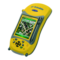
Why can't my GeoExplorer 3000 GPS connect to another GeoExplorer 3000 series handheld?
- XxlarsonSep 15, 2025
If you're unable to connect to another GeoExplorer 3000 series handheld, the data encryption settings may be set incorrectly. When setting up a peer-to-peer ad-hoc network with WEP encryption, set a Network Key, rather than leaving the key blank to be provided automatically.