21
English
NAVIONICS ELECTRONIC CHARTS
The GEONAV includes a built-in world map. Additional car-
tography details relative to a specific area of navigation are
available from the SD Cards storing NAVIONICS Platinum™
or Gold™ electronic charts.
To display chart boundaries, press the GOTO key to display the
menu, select SETUP, SET CHART DETAIL and then, by the
joystick, select the USER or ALL mode. A small square will
locate the area covered by the cartridge installed.
Increasing/decreasing the chart range
Press the -ZOOM+ key. The current chart range is indicated in
the upper left-hand side of the screen. Chart ranges can go
from 4096 NM down to 1/8 NM in Overzoom mode. The range
units are shown in the range window.
Displaying depth and safety contours,
geographical names, spot soundings
and light sectors
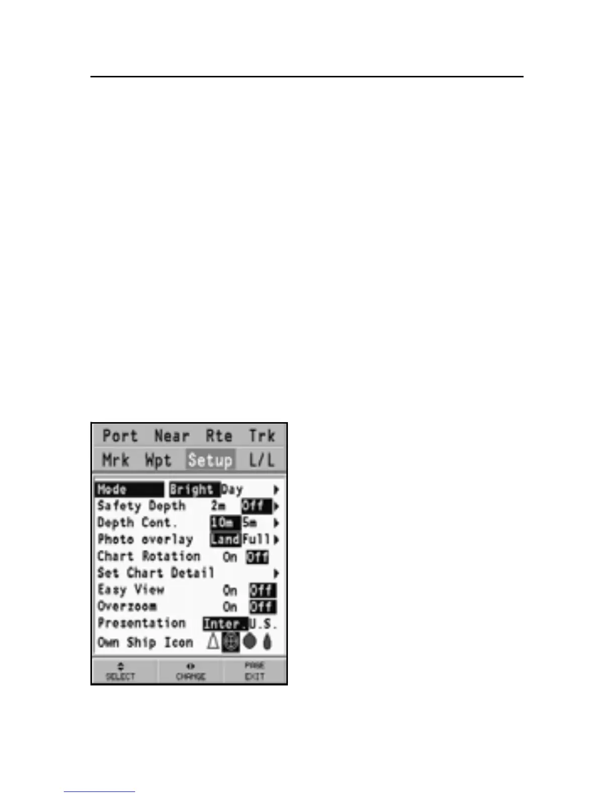
Press GOTO to display the menu,
select SETUP, DISPLAY and en-
able the option desired (Safety
Depth, Depth Contours and
Chart Details) by using the joy-
stick.
Converting depth values into the units
set
Press GOTO to display the menu,
select SETUP, DEPTH UNITS
and then set the unit desired to
meters, feet or fathoms.
NAVIONICS Electronic Charts