2 Fusion process Operating Manual MSA 330 / MSA 340
14
buttons to select the digits and the ()() to move through the different
fields. At the end the START/OK ( I ) button is used to confirm the content.
2.9 GPS (MSA 340 only)
The MSA 340, is equipped with a GPS (Global Positioning System)
receiver, and allows the visualization and storage of the geographical
coordinates (latitude, longitude) of the jointing place.
The acquisition of the coordinates is done just before starting the fusion
process. At that time the machine position must be near the exact place
where the joint will be located.
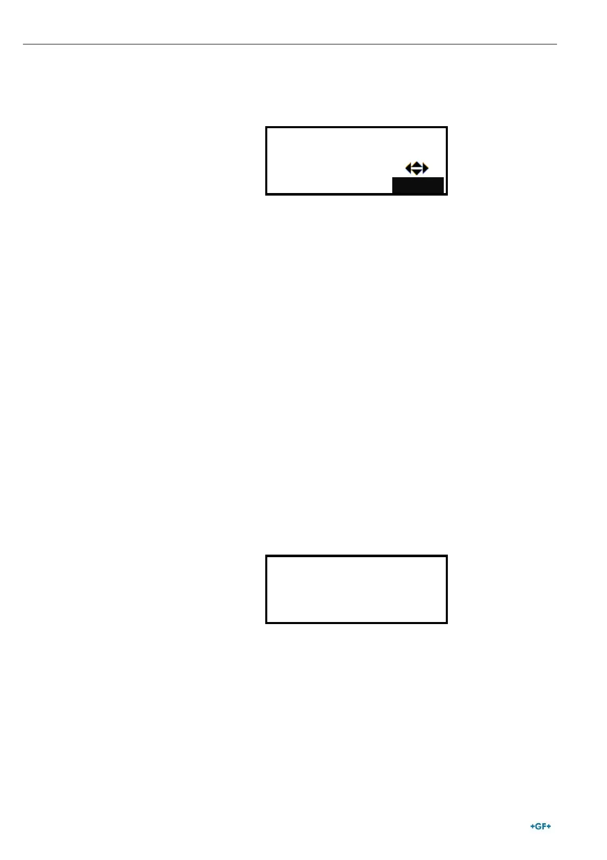
As soon as the GPS coordinates are available, a satellite icon will be
shown on the CONNECT FITTING screen in the top-right corner.
To acquire correctly the GPS coordinates, the unit must be
static (no motion) and preferibly in open air. Moreover, to
allow the unit to identify the position with accuracy, a
warm up time must be ensured: the unit has to be powered on
for at least 5’ to let the discovery of the satellites.
The GPS coordinates are visible on request, after the warm-up time, to
the user. To see them, just push the () button, when the machine is in
stand by state (means the display is showing the “CONNECT FITTING!”
message). Then the display will show latitude, longitude, altitude of the
current location.
STOP/ESC (O) button will allow to go back to the main page.
Advise