Do you have a question about the Rand McNally TND TABLET 1050 and is the answer not in the manual?
Lists all items included with the navigation device, such as the tablet, mounts, and cables.
Instructions and options for mounting the device in a vehicle.
Identifies and labels the physical components and ports of the device.
Instructions on charging the device before initial use.
Guide to connecting the device to a wireless network for internet access.
Explains the importance of registering the device for updates and support.
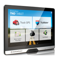
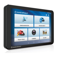
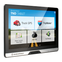
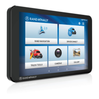
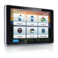
Overview of the device's main screen and user interface elements.
Lists and describes the primary application icons available from the main screen.
Outlines the various settings available for the device, including Wi-Fi and system updates.
Details the options within the device's Android settings for network, display, sound, etc.
Introduces the core navigation features and interface elements of the system.
Guide to configuring language, units, clock, and vehicle type for navigation.
Settings related to vehicle dimensions, weight, and hazmat for truck routing.
Options for setting route preferences like traffic, recalculation, and avoidances.
Settings for map display, including day/night mode, route color, and icons.
Configuration for speed limit, curve, hill, and other audible/visual warnings.
How to search for destinations using single-line, guided search, POIs, history, or bookmarks.
Explains how to enter addresses, cities, or POIs for navigation.
Accessing and using guided search options like new location, history, and address book.
Options for navigating by address, city center, intersection, or coordinates.
Details the auto-complete keyboard and destination entry process for guided search.
How to view, edit, or create multi-stop trips and trails.
Managing saved trips, adding stops, and planning routes with multiple destinations.
Using the Trails feature to record and follow custom paths.
Viewing and navigating to recently visited destinations.
Accessing and organizing saved bookmarks, contacts, and groups for navigation.
How to add, search, and manage contacts for navigation.
Organizing contacts and destinations into custom groups for easier access.
Searching for Points of Interest near current location, city, route, or destination.
How to filter POI search results by specific services or amenities.
Displays nearby POIs, Yelp suggestions, and other place details.
Setting and navigating to Home and Work locations as saved bookmarks.
Accessing previous destinations and saved locations for navigation.
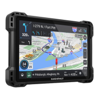
Explains the various elements and controls displayed on the route map screen.
Information on upcoming exits, including POIs and amenities available.
Managing route preferences, adding stops, detours, and ending navigation.
Displays directions, highways, and trip summary for the current route.
Setting up detours for miles, roads, or areas to avoid on the route.
How to view weather condition overlays and forecasts on the map.
Displaying traffic flow, incidents, and conditions on the map overlay.
Explains the meaning of various icons used to represent traffic events and conditions.
Viewing fuel prices, station locations, and preferences on the map.
Displays current location, times, speed, elevation, and trip information.
Recording fuel purchases, including quantity, price, and odometer readings.
Displays upcoming maneuvers with lane assist and exit information.
Shows upcoming turns with lane assist information for better guidance.
Accessing features for status, mileage, fuel, quick planner, and data management.
| Display Size | 10.1 inches |
|---|---|
| Internal Storage | 32 GB |
| RAM | 2 GB |
| Processor | Quad-core |
| Connectivity | Wi-Fi, Bluetooth |
| GPS | Yes |
| Resolution | 1280 x 800 pixels |
| Processor Speed | 1.3 GHz |
| Battery | 6000 mAh |
| Operating System | Android |
| Expandable Storage | microSD card up to 128 GB |
| Weight | 1.4 lbs |