Tap this button to select the information you want to see on the status bar:
Horizontal - show the status bar at the bottom of the Driving view.
Vertical - show the status bar on the right-hand side of the Driving
view.
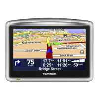
Maximum speed
Important: The speed limit is shown next to your current speed. If you
drive faster than the speed limit, you see a warning indicator in the status
bar, for example the status bar pane turns red.
Information about speed limits is not available for all roads.
Current time
Remaining distance - the distance to your destination.
Leeway - your VIA shows how late or early you will arrive, compared
with your preferred arrival time that was set when you planned the
route.
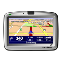
Tap this button to select the map you want to use for route planning and
navigation.
Although you can store more than one map on the device, you can only
use one map at a time for planning and navigation.
To switch from the current map to plan a route in another country or
region, simply tap this button.
Note: The first time you switch to a map, you may need to connect to
your MyTomTom account and activate the map.
 Loading...