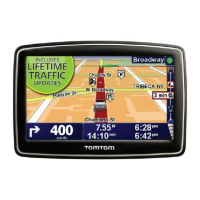
Using POIs to plan a route
When you plan a route, you can use a POI for the destination.
The following example shows how to plan a route to a car park in a city:
1. Tap Navigate to or Drive to in the Main menu.
2. Tap Point of Interest.
3. Tap POI in locality or city.
Tip: The last POI you viewed on your VIA is also shown in the menu.
4. Enter the name of the locality or city and select it when it is shown in the list.
5. Tap the arrow button to expand the list of POI categories.
Tip: If you already know the name of the POI you want to use, you can tap Search by name
to enter the name and select this location.
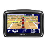
6. Scroll down the list and tap Car park.
7. The car park closest to your destination is shown at the top of the list.
8. The following list explains the distances shown next to each POI. How the distance is
measured varies depending on how you initially searched for the POI:
POI near you - distance from your current location
POI in city - distance from the city centre
POI near Home - distance from your Home location
POI along route - distance from your current location
POI near destination - distance from your destination
9. Tap the name of the car park you want to use and tap Done when the route has been
calculated.
Your TomTom VIA starts to guide you to the car park.
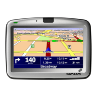
Showing POIs on the map
You can select the types of POI locations you want to see on your maps.
1. Tap Show POI on map in the Settings menu.
2. Select the categories you want to be shown on the map.
 Loading...