226
DS CONNECT NAV
11
the DS CONNECT BOX solution, or else a
"network connection provided by the user" via
a smartphone,
In both cases, the system is automatically
connected to the Internet, if network coverage
permits.
Press Navigation to display the main page.
Press the "MENU" button to access the secondary
page.
Select "Search".
Press on the mode shown in the bottom right of
the screen (On-Board or Connected) to change
"Database".
Select the "Database" in "On-Board" mode
(integrated into the map), or in
"Connected" mode (connected to the Internet).
Press the back arrow to confirm.
Enter an address or key words for your
destination (POI).
Press "OK" to start the search.
Select the "On the route", "Around the
vehicle" or "At destination" tab to refine
your search.
Select the desired address to calculate the route.
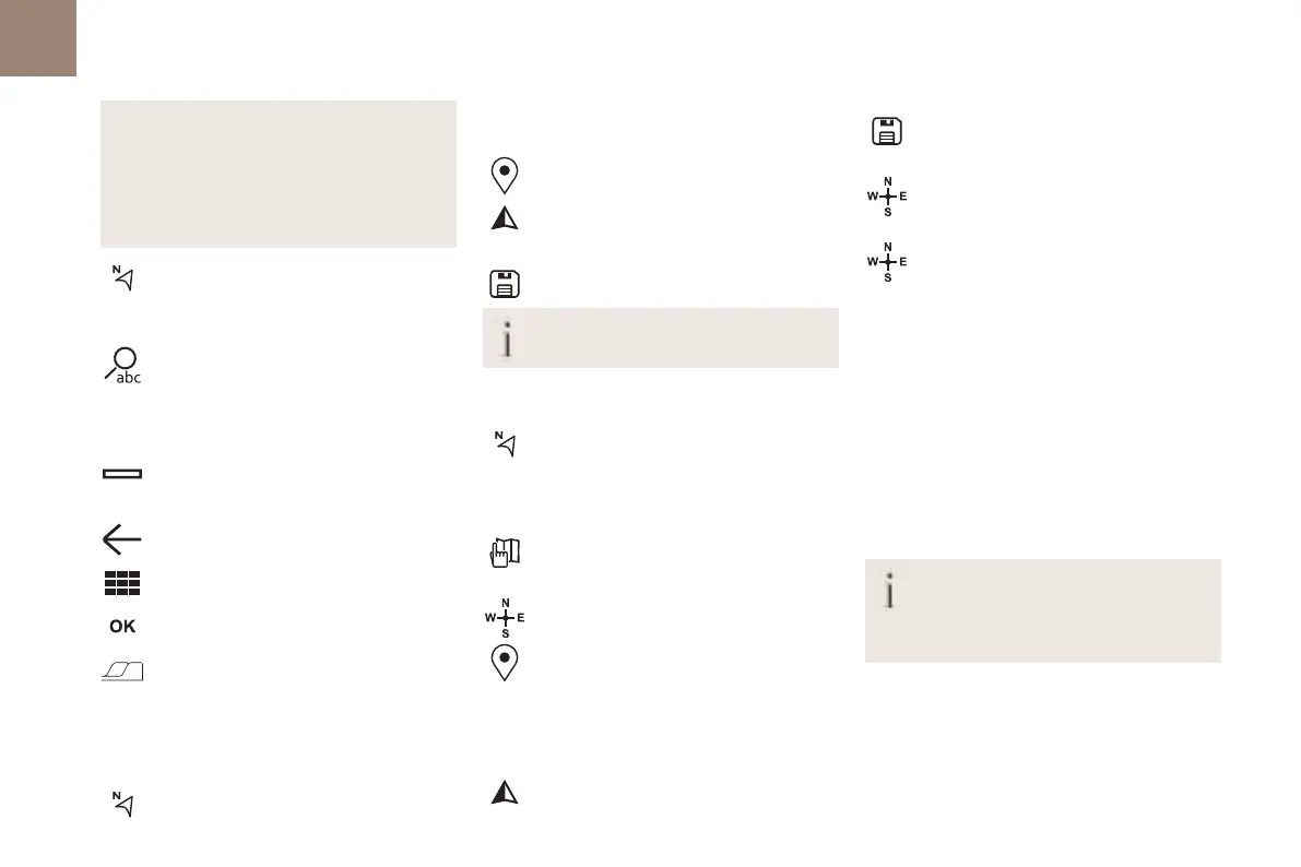
To a point on the map
Press Navigation to display the main page.
Explore the map by sliding a finger on the screen.
Select the destination by pressing on the map.
Tap the screen to place a marker and
display the sub-menu.
Press this button to start guided
navigation.
Or
Press this button to save the displayed
address.
A long press on a point opens a list of
nearby POIs.
To GPS coordinates
Press Navigation to display the main page.
Explore the map by sliding a finger on the screen.
Touch the screen with a finger to go to the next
image.
Press this button to display the world map.
Using the grid, select the desired country
or region by zooming.
Press this button to display or enter the
GPS coordinates.
A marker is displayed in the middle of the
screen, with the "Latitude" and
"Longitude" coordinates.
Choose the type of coordinates:
DMS for: Degrees, Minutes, Seconds.
DD for: Degrees, Decimals.
Press this button to start guided
navigation.
Or
Press this button to save the displayed
address.
OR
Press this button to enter the "Latitude"
value using the virtual keypad.
And
Press this button to enter the "Longitude"
value using the virtual keypad.
TMC (Traffic Message
Channel)
Available in some countries.
TMC (Traffic Message Channel) messages
are based on a European standard for traffic
information broadcasting via the RDS system on
FM radio, sending traffic information in real time.
The TMC information is then displayed on a GPS
Navigation system map and taken into account
straight away when routes are calculated, to
avoid accidents, traffic jams and closed roads.
Danger zone alerts may or may not be
displayed, depending on the applicable
legislation and subscription to the
corresponding service.
Connected navigation
Connected navigation
connection
Depending on version, vehicle trim level and
subscription to online services and options.
Network connection provided by the
vehicle
If you use the DS CONNECT BOX solution,
the system is automatically connected
to the internet and connected services, and does
not require the user to provide a connection via
their smartphone.
OR
Network connection provided by the user
For the list of suitable smartphones, visit
the Brand's national website.
Activate and enter settings for sharing the
smartphone connection.
As processes and standards are
constantly changing, we recommend you
update the smartphone operating system as
well as the date and time on the smartphone
and system, to ensure that the communication
 Loading...