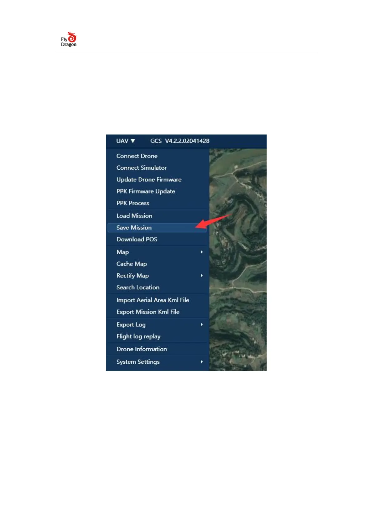
3.1.3 Export or load tasks
After the aerial survey task setting is completed, click "Export Task" in the UAV
menu bar, select the save path to save the aerial survey task, and also select "Load
task" to load the aerial survey task and use it directly.
⚫
Suggest: Pre-store the map of the operation area in the ground station
software in advance and save the route plan in the computer in advance to reduce
the time for field tasks.
The actual operation needs to reasonably adjust the route according to the actual
terrain, surrounding buildings, human and animal activities, etc.