Do you have a question about the Garmin GPSMAP 721 and is the answer not in the manual?
| Sport (fitness, running) | No |
|---|---|
| Marine (chartplotters, sounders) | Yes |
| Live service | - |
| Routes quantity | 100 |
| Tracks quantity | 50 |
| Number of waypoints | 5000 |
| Map coverage | All Europe |
| Display diagonal | 7 \ |
| Display size (HxV) (imperial) | 6 x 3.6 \ |
| Compatible memory cards | MicroSD (TransFlash) |
| Form factor | Fixed |
| Product color | Black |
| Power source type | DC |
| Depth | 14.6 mm |
|---|---|
| Width | 22.9 mm |
| Height | 6.1 mm |
| Weight | 900 g |
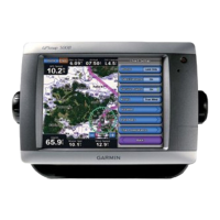
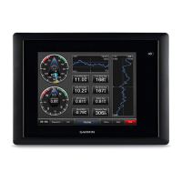
Visual overview and key component identification for 70 Series devices.
Instructions for interacting with the chartplotter's touch interface for navigation.
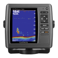
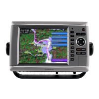
Visual overview and key component identification for 50 Series devices.
Explanation of the functions and operation of the device's physical buttons.
Information regarding the acquisition and status of GPS satellite signals.
Guide to customizing screen brightness and color modes for optimal viewing.
Instructions for inserting and utilizing memory cards for data storage and map viewing.
Detailed steps for marking, creating, and managing waypoints, including MOB.
Step-by-step instructions for setting a destination and navigating to it on the chart.
Guide to creating custom routes and navigating along them from the current position.


