Do you have a question about the Rand McNally TND 525 and is the answer not in the manual?
Details compliance with FCC rules for digital devices and interference requirements.
Details compliance with Industry Canada and FCC rules, including interference and operation conditions.
Advises on safe usage of the navigation device while driving and prioritizing traffic regulations.
Provides guidelines for safe mounting and cable management to prevent accidents.
Outlines precautions for device care, including temperature, water, and cleaning methods.
Recommends keeping the device connected to a power source for optimal charging.
Step-by-step guide for securely mounting the device while ensuring driver visibility.
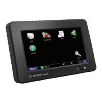
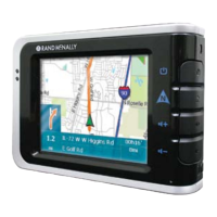
Identifies and describes key physical features of the TND device, including ports and indicators.
Explains the initial startup procedure, including the warning and legal consent window.
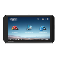
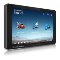
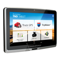
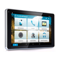
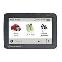
Describes the primary icons and functions accessible from the Main Menu screen.
Covers truck-specific details like Hazmat Type, Height, Width, and Trailers.
Explains how to set warning distances for driving time, duty hours, and weigh stations.
Allows users to avoid specific road types like freeways, tollways, ferries, and dirt roads.
Configures route recalculation, turn announcements, and junction view distances.
Introduces methods like new locations, history, and POIs for selecting destinations.
Covers managing multi-stop trips and accessing saved locations in the address book.
Step-by-step guide to creating a new trip with up to 50 stops.
Instructions for adding new stops to a trip or removing existing ones.
Instructions for avoiding specific route segments or areas and managing the avoid list.
How to create temporary detours around road segments and cancel them.
Lists categories for searching POIs near current location, city, route, or destination.
Explains searching for custom POIs and truck-friendly quick stops.
Options after selecting a destination: route, compare, add as via, or save.
Features to save locations, view details, rate POIs, and edit entries.
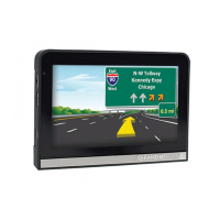
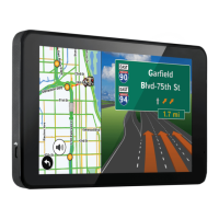
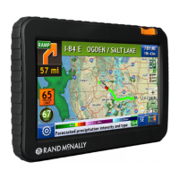
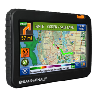
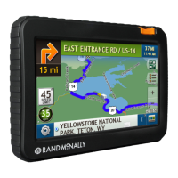
Explains elements like next maneuver, road names, and distance/time displays.
Covers map view options, current location info, speed display, and route options.
Details data like speed, time, elevation, and trip progress on the virtual dashboard.
Explains managing trip info, resetting data, and accessing fuel logs.
Access truck details, driving timers, mileage, trails, and fuel logs.
Utilize Quick Planner, Road Info, Tell Rand, Calendar, Notepad, Converter, and Calculator.
| Brand | Rand McNally |
|---|---|
| Model | TND 525 |
| Category | GPS |
| Language | English |