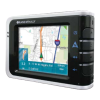
Do you have a question about the Rand McNally TND 740 and is the answer not in the manual?
Essential safety guidelines for navigation device operation and installation.
Lists all items contained within the product packaging for the navigation device.
Instructions on how to properly install and position the navigation device mount.
Guidance on how to charge the device's internal battery for optimal use.
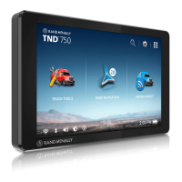
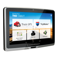
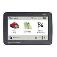
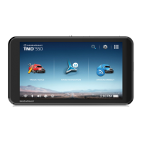
Explains the primary navigation options and icons available on the device's main screen.
Details on entering specific truck parameters like weight, height, and hazmat type.
Configuration options for system settings, skin type, vehicle type, and time zones.
Customization settings for route calculation, traffic, tolls, and road avoidance.
Options for customizing map display, zoom behavior, icons, and route color.
Settings for configuring various audible and visual alerts for road conditions and limits.
Step-by-step guide to routing to a new destination by address, city, or coordinates.
Instructions on adding, saving, and accessing locations within the device's address book.
How to create, manage, and optimize routes with multiple destinations.
Using the map interface to select destinations, set origins, or add waypoints.
Setting up specific routes, roads, or areas to be avoided during navigation.
Finding nearby points of interest such as truck stops, services, and amenities.
Using Wi-Fi to search for local businesses, restaurants, and services by name or category.
Understanding the options presented upon confirming a destination selection.
Viewing route options with estimated toll costs and comparing them.
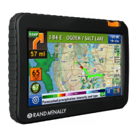
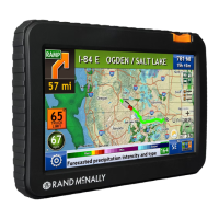
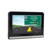
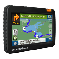
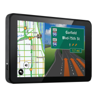
Explanation of the main navigation map display elements and their functions.
Displays upcoming exit information, including points of interest and amenities.
Provides detailed maneuver instructions and route summaries in a slide-out panel.
Accessing and understanding the driving data, timers, and vehicle metrics display.
Visual aids for upcoming maneuvers, showing lane guidance and road information.
Accessing current location details, route settings, and avoidance management.
Instructions for connecting to Wi-Fi hotspots for device features and updates.
Viewing current and forecasted weather conditions and overlays on the map.
Locating and displaying fuel prices for nearby stations, with filtering options.
Viewing real-time traffic conditions, flow, and incidents on the map.
Explains the meaning of various icons used to represent traffic events and conditions.
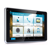
Overview of the suite of tools and applications designed for truck drivers.
Managing odometers, maintenance timers, and tracking mileage and fuel logs.
Recording and viewing quarterly mileage logs for current and previous years.
Using the Trails feature to record a bread-crumb path of GPS coordinates.
Recording and viewing fuel purchase details, including cost, quantity, and economy.
Estimating mileage, driving time, and cost between two locations.
Accessing emergency and key phone numbers from the Rand McNally Motor Carriers' Road Atlas.
Using built-in tools like Calendar, Notes, Unit Converter, and Calculator.
Introduction to the electronic logbook solution for tracking HOS, DVIRs, and fuel purchases.
Instructions for creating an account or logging in to use the DriverConnect portal.
How to send feedback and messages to Rand McNally regarding device or road information.
Links and contact information for further support and resources from Rand McNally.
| Brand | Rand McNally |
|---|---|
| Model | TND 740 |
| Category | GPS |
| Language | English |