EasyManua.ls Logo

Samyung Navis 3800 User Manual

Samyung Navis 3800
101 pages
To Next Page IconTo Next Page
Page #1 background imageLoading...
Page #1 background image
2
This GPS ChartPlotter is the most advanced Navigation device
since ever developed. However a navigation officer of ability
should not make a decision, by information from this device only,
which might be occurred damages in people’s life and property
while sail & fishing.
CAUTION

Table of Contents

Question and Answer IconNeed help?

Do you have a question about the Samyung Navis 3800 and is the answer not in the manual?

Samyung Navis 3800 Specifications

General IconGeneral
BrandSamyung
ModelNavis 3800
CategoryMarine Radar
LanguageEnglish

Summary

GPS PLOTTER

GPS Overview

Provides an overview of the Global Positioning System (GPS) and its capabilities.

Device Features

Main Unit Features and Functions

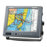
Describes the main unit's display, power, positioning capabilities, and operating conditions.

Device and Display

Remote Controller Button Functions

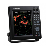
Details the functions of each button on the remote controller for device operation.

Operating Instructions

Data Management

Covers functions related to managing track, mark, user's line, waypoint, and route data.

System Setup Options

Details various system setup configurations, including navigation and alarms.

Related product manuals