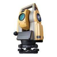
Do you have a question about the Topcon DS-105AC and is the answer not in the manual?
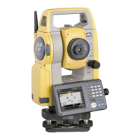
Explanation of the instrument's keyboard layout and key functions.
Step-by-step guide on how to charge the instrument's battery.
Procedures for safely fitting and removing the battery from the instrument.
Methods for accurately centering the instrument over a survey point.
Procedures for ensuring the instrument is properly levelled for accurate measurements.
Setting up and performing wireless data transfer via Bluetooth.
Configuring the automatic target acquisition system for optimal performance.
Measuring the included angle between two sighted points.
Setting a specific horizontal angle reference or holding a current angle.
Automating the instrument's rotation to a specified angle or target.
Performing simultaneous distance and angle measurements.
Measuring the height of inaccessible points using the Remote Elevation Measurement function.
Inputting coordinates and height for the instrument's setup location.
Setting the azimuth angle for backsighting and establishing orientation.
Calculating and displaying the target's three-dimensional coordinates.
Calculating instrument station coordinates based on known points and measurements.
Determining the instrument station's elevation using known points and distance measurements.
Guiding the user to set out points based on distance and direction.
Laying out points using pre-defined coordinate data.
Setting out points where direct installation of a target is not possible.
Determining offset points using two distance measurements.
Adjusting settings related to measurement modes, units, and environmental corrections.
Calibrating the tilt sensor to ensure accurate angle compensation.
| Brand | Topcon |
|---|---|
| Model | DS-105AC |
| Category | Measuring Instruments |
| Language | English |