Operating Your Tablet Computer 2-23
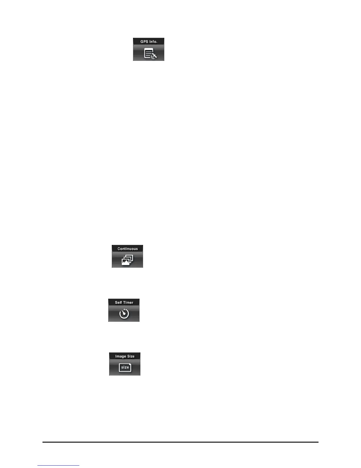
GPS Information
Tap this button to enable or disable (default) the GPS data to be displayed
and printed on the photo. The format of GPS data is: Longitude, Latitude,
Altitude, Speed, Magnetic or True Course.
Longitude – W (West) or E (East) A.aaaaaa (6-digits after the
decimal point)
Latitude – S (South) or N (North) B.bbbbbb (6-digits after the
decimal point)
Altitude - C.ccc (3-digits after the decimal point), displayed in meters
Speed – D.ddd (3-digits after the decimal point), displayed in
Kilometers
Magnetic or True course - E.eee (3-digits after the decimal point).
Virtual GPS must be running for valid GPS data to be entered in the
photo. Press the GPS Settings button in the upper tool bar and ensure that
Virtual GPS is acquiring data. (See below under ―GPS Settings.‖)
Continuous
Tap this button to enable or disable (default) the taking of 3 photos
continuously in just one tap of the Shutter button.
Self Timer
Tap this button to disable (default) or delay (5 or 10 seconds) the shutter
release upon tapping the Shutter button.
Image Size
Tap this button to set the photo’s image size and format:
640x480 (default) / 1280x1024 / 1600x1200 (available only with 2 M
module).
 Loading...