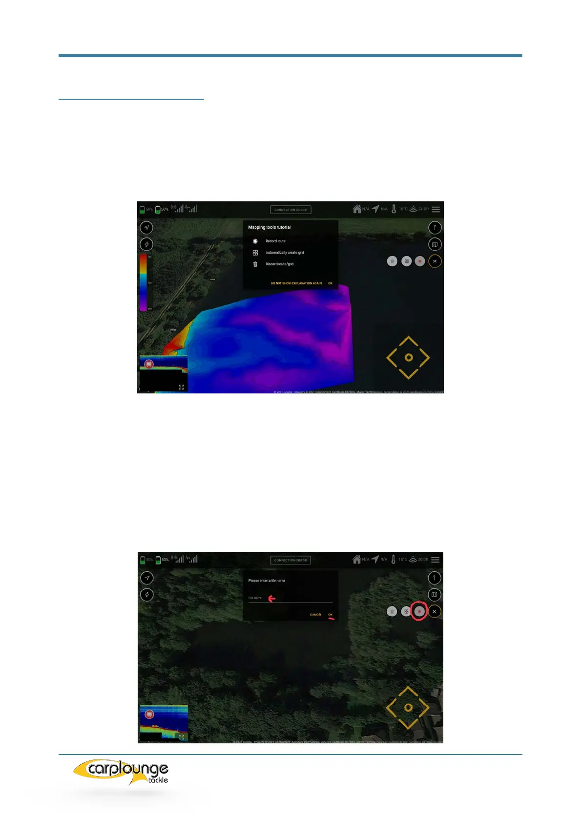
5.7 Mapping tools (mapping)
Creating depth maps is arguably one of the most useful things to do when fishing.
Knowledge of the structure of a body of water also leads to successful sessions on a
regular basis. This section describes how to use the RT4 to collect the data for
creating a depth map.
5.7.1 RECORDING DEPTH DATA WITHOUT A GRID/Raster
You can record the depth data using the "Record route" button. This is used
if you want to record the data without having created a grid/rasta, enter the
name and confirm, and then the record button starts pulsing, which shows
that the recording is in progress. This is stored in the Downloads folder (see
5.6.4.1)