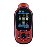
Do you have a question about the DeLorme Earthmate PN-60 GPS and is the answer not in the manual?
Lists the items included with the PN-60/PN-60w GPS devices.
Details battery types, indicator, storage, and SD card slot.
Provides instructions for installing batteries and tips to improve battery life.
Explains how to use the power button for turning the device on/off and other functions.
Details the functions of navigation buttons like IN/OUT and control tips.
Explains how to navigate pages, use menus, and operate the arrow keypad.
Introduces the Find page for searching and the Mark button for saving locations.
Details how to use the on-screen keyboard and its associated shortcuts.
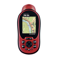
Covers the Map Page, GPS arrow, tracking, and panning basics.
Explains turning imagery on/off, map setup, and managing data layers.
Details the Find page, search methods, categories, and results.
Covers waypoint file management, lists, sorting, and marking.
Explains geocache file management, lists, sorting, and logging.
Displays satellite constellation, signal graph, and GPS/WAAS status.
Details the compass display, bearing arrow, and sensor calibration.
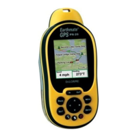
Covers trip information display, resetting data, and info fields.
Explains route management, settings, creation, and simulation.
Details track recording, managing active tracks, and track files.
Covers viewing, scaling, and working with track profiles.
Provides sun/moon data, tide information, and related settings.
Offers predictions for hunting and fishing conditions.
Optimizes device settings and info fields for various activities.
Covers system, display, sensor, sound, time, and unit settings.
Details managing GPX files, syncing, and transferring data.
Guides on calibrating the electronic compass and barometric altimeter.
Provides descriptions for all available info fields on the device.
Lists device specifications, legal notices, and warranty details.
Outlines service requirements and provides contact information.
Lists and explains the symbols used for waypoints on the device.
Lists and explains the symbols specific to geocaches.