

J
Jerry FrankAug 1, 2025
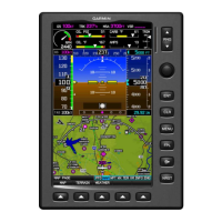
What to do if my Garmin G300 GPS airspeed or altitude shows a Red-X condition?
- MmollygloverAug 1, 2025
If your Garmin GPS airspeed and/or altitude shows a Red-X condition, inspect the GSU 73 pitot/static plumbing integrity and the pitot/static ports and associated equipment. If the problem continues, replace the GSU 73 with a known good unit.