Do you have a question about the Garmin GPS 50 and is the answer not in the manual?
Details the powerful features of the GPS 50, including performance, portability, navigation, and personalization.
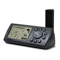
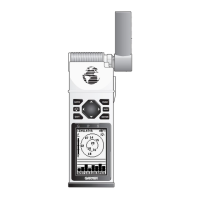
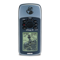
Explains how to use the GPS 50 for handheld and fixed mount operations, including power sources and antennas.
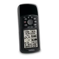
Describes the GPS 50's 20-key keypad and illuminated LCD display for operation in darkness.
Explains the meaning of banners displayed on the LCD, indicating page type, units, fix type, and user prompts.
Details the cursor movement and the four types of data fields (numeric, alphanumeric, cyclic, confirmation).
Explains the functions of each key on the GPS 50 keypad, including power, backlighting, and navigation.
Guides users on how to enter numbers and letters into the GPS 50, including confirmation and error handling.
Explains how to view and interpret messages displayed on the GPS 50, including audible alerts.
Describes the three operating modes: Normal, Battery Saver, and Simulator, and their uses.
Details the power-on sequence, self-tests, and satellite acquisition process for the GPS 50.
Explains the Satellite Status Page, showing tracked satellites, DOP, EPE, azimuth, elevation, and signal quality.
Describes how to view and manually enter latitude, longitude, and altitude on the Position Page.
Explains how to capture and store current position as a waypoint using the AutoStore™ feature.
Details the CDI Page, showing desired course, current position, and navigation data like distance and speed.
Covers creating, storing, reviewing, renaming, and deleting waypoints on the GPS 50.
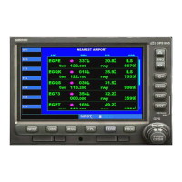
Explains how to display up to nine nearest waypoints, useful for emergency situations or navigation.
Details the GOTO function to set a course from current position to any selected waypoint.
Describes the Man Overboard function for rapid response to an emergency situation.
Walks through a simulated trip to familiarize users with GPS 50 operation and features.
Explains how to access and navigate the Setup Menu to customize various GPS 50 parameters.
Details how to select between Normal, Battery Saver, and Simulator modes for optimal unit operation.
Guides on setting up anchor drag, arrival, and CDI alarms for enhanced navigation safety.
Explains how to adjust the backlighting timeout period to conserve battery life.
Describes how to configure audio tone characteristics for keypress feedback and messages.
Covers selecting preferred units for distance, speed, and altitude based on user needs.
Explains how to set the scale for the Course Deviation Indicator (CDI) on the CDI Page.
Details options for true, automatic magnetic, or user magnetic heading correction.
Explains how to adjust filter response time for position and velocity outputs to smooth data.
Describes how to select output data formats for interface requirements with other devices.
Guides on selecting standard or user-defined map datums for accurate positioning with charts.
Overview of the Navigation Menu for accessing time and planning functions.
Details how to set and display local or UTC date and time on the GPS 50.
Explains how to use the GPS 50 as a count down or elapsed timer.
Guides on calculating distance, desired track, and time requirements between waypoints.
Describes how to calculate sunrise and sunset times for a selected waypoint.
Explains how to set and cancel alarms on the GPS 50 for timely notifications.
Details how to navigate along pre-defined sequences of waypoints using the GPS 50's route feature.
Explains how to view, select, and initiate operations on stored routes in the Route Catalog.
Guides on creating, modifying, inserting, deleting, and clearing routes and their waypoints.
Explains how to activate routes in the displayed or reverse order for navigation.
Details how to capture positions and build routes by storing waypoints along a travel path.
Provides illustrations and definitions for navigation terms used in the manual, like DTK, CMG, GS, VMG.
Explains the GARMIN exclusive Course to Steer (CTS) feature for optimal navigation.
Lists physical, power, environmental, performance, and interface specifications for the GPS 50.
Details wiring diagrams for connecting the GPS 50 to vehicle power, alarms, and NMEA devices.
Provides instructions for installing the universal mount for fixed installations above dash or on a surface.
Explains how to insert, remove, and adjust the angle of the GPS 50 in its universal mount.
Details how to remove and replace alkaline batteries in the GPS 50 battery pack.
Provides guidance on maintenance, user-serviceable parts, and care to avoid damage.
Provides contact information for customer support for additional assistance with the GPS 50.
| Battery life | Up to 18 hours |
|---|---|
| Water rating | IPX7 |
| Waypoints | 500 |
| Display | LCD |
| Track log | 10 saved tracks |
| Interface | RS-232 |