Do you have a question about the Garmin nuvi 2457LMT and is the answer not in the manual?
Connect the device to your vehicle for power and charging.
Install and set up Garmin Express for device management and updates.
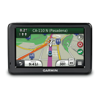
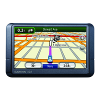
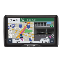
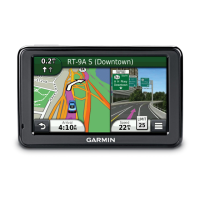
General overview of how to search for locations by category, address, or map.
Steps to find locations by browsing through predefined categories.
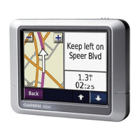
How to search for any location using text input in the search bar.
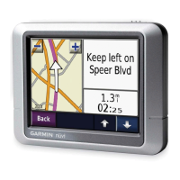
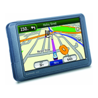
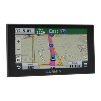
Step-by-step guide to begin navigating to a chosen destination.
Setting preferences for route calculation (e.g., fastest time, shortest distance).
How to initiate navigation to a previously saved destination.
How to add intermediate stops or points to an active route.
Method for rerouting around specific roads or distances.
Locating nearby services like gas, food, or lodging along the route.
Customizing the phrase to activate voice command.
How to initiate and use the voice command feature.
Navigating to destinations using voice commands.
Overview of using the device for making and receiving calls via Bluetooth.
Steps to activate Bluetooth on the device.
Connecting your mobile phone to the device via Bluetooth.
Introduction to the Smartphone Link app for live data services.
Instructions for obtaining and installing the Smartphone Link app.
Steps to establish a connection between the device and the Smartphone Link app.
Process for signing up for available live data services.
Initial configuration of vehicle information for ecoRoute.
Steps to improve fuel economy reporting accuracy.
Creating and saving multi-destination trips.
Starting navigation for a previously planned trip.
How to link the device to a computer via USB for data transfer.
Copying files between the computer and the device.
Adjusting map display, vehicle icon, and other visual preferences.
Configuring route calculation, avoidances, and safe driving modes.
Managing Bluetooth connections, adding phones, and setting friendly names.
Configuring traffic data reception, providers, and alerts.
Methods for charging the device's internal battery.
Procedure for replacing the fuse in the vehicle power adapter.
Solutions for issues with the suction cup adhesion.
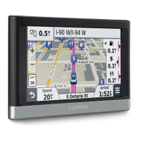
| Display Type | WQVGA color TFT with white backlight |
|---|---|
| Display Resolution | 480 x 272 pixels |
| Map Updates | Lifetime map updates |
| Battery | Rechargeable lithium-ion |
| High-Sensitivity Receiver | Yes |
| Voice-Activated Navigation | No |
| Bluetooth Calling | No |
| Lane Assist | Yes |
| Junction View | Yes |
| Speed Limit Indicator | Yes |
| Custom POIs | Yes |
| Points of interest | Yes |
| MicroSD card slot | Yes |
| Maps | Preloaded maps |
| Traffic Information | Lifetime traffic updates |
| Dimensions | 4.9 x 3.0 x 0.8 inches |
| Screen Size | 4.3" |