Do you have a question about the Garmin nuvi 2597LMT and is the answer not in the manual?
| Auto | Yes |
|---|---|
| Marine (chartplotters, sounders) | No |
| Live service | - |
| Routes quantity | 100 |
| Number of waypoints | 1000 |
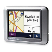
| Spoken street names | Keep your eyes on the road while your GPS announces turn-by-turn directions, including street and place names. |
| Form factor | Fixed |
| Product color | Black |
| Map coverage | All Europe |
| Display diagonal | 5 \ |
| Display resolution | 480 x 272 pixels |
| Native aspect ratio | 16:9 |
| Display size (HxV) (imperial) | 2.1 x 4.4 \ |
| Storage media type | Flash |
| Compatible memory cards | MicroSD (TransFlash) |
| Supported radio bands | Not supported |
| Power source type | Battery, Cigar lighter |
| Battery life (max) | 2.5 h |
| Cables included | USB |
| Headphone outputs | 0 |
| Depth | 19 mm |
|---|---|
| Width | 137 mm |
| Height | 83 mm |
| Weight | 188 g |
Connect the device to your vehicle's power outlet for charging and operation.
Install and configure Garmin Express for device updates and product registration.
Ensure the device has a clear view of the sky to receive satellite signals for navigation.
Control device audio output and screen brightness for optimal usability.
Understand the meaning of icons displayed in the device's status bar for key information.
Learn about battery charging status, accuracy, and power management techniques.
Navigate and input text using the device's virtual keyboard and character options.
Search for destinations using categories, addresses, or map browsing features.
Search for nearby businesses and attractions using predefined categories for ease of use.
Use the search bar to efficiently find addresses, cities, businesses, or coordinates.
Enter a specific address, including street and number, to locate a destination accurately.
Learn how to save current, home, or any found locations for quick and easy access later.
Initiate navigation to a chosen destination by searching or selecting from saved locations.
View and select from different route options before starting navigation for optimal travel.
Select preferences for route calculation, such as faster time, shorter distance, or off-road.
Load and use custom points of interest with alerts for specific locations or speeds.
Explore map views, zoom levels, and switch between map perspectives for better orientation.
Find alternate routes around construction zones or road issues encountered during navigation.
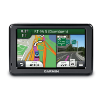
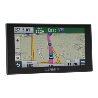
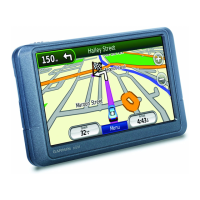
Review turn-by-turn directions, maneuvers, and distance between turns for your current route.
Discover nearby services like gas stations, restaurants, and lodging categorized along your route.
Configure routes to avoid specific road types, features, or conditions for preferred travel.
Learn to define custom areas or roads to exclude from navigation routes.
Adjust map tools, layers, and data fields for a personalized and informative map display.
Receive alerts for upcoming safety cameras and learn about subscription options for data.
Understand how traffic data is received and displayed for intelligent route planning.
See upcoming traffic incidents and delays along your route to anticipate travel times.
Device automatically alerts to delays and suggests alternate routes to avoid congestion.
Use voice commands to control device functions, navigate, and access features.
Connect your compatible mobile phone via Bluetooth for hands-free calling and communication.
Manage subscriptions for traffic services, regional data, and renewal options.
Connect your mobile phone to the device using Bluetooth for calls and data synchronization.
Access and review call logs loaded from your connected phone for convenient reference.
Utilize the Smartphone Link app for live data services, phone connectivity, and data sharing.
Calculate fuel economy and costs, and find tools to improve vehicle fuel efficiency.
Improve fuel report accuracy by calibrating the device to your specific vehicle's performance.
Get scores for driving habits like acceleration and braking to encourage fuel-saving behavior.
Create and save multi-destination trips using the trip planner for organized travel.
Set departure/arrival times and duration for saved trip locations to manage itineraries.
Access notifications from myGarmin for software and map updates directly on the device.
Understand the supported file types for maps, waypoints, custom POIs, and other data.
Link the device to a computer via USB for data transfer, updates, and file management.
Adjust map, vehicle, and navigation settings for a personalized and efficient user experience.
Manage Bluetooth connections for pairing devices, enabling wireless technology, and setting friendly names.
Configure traffic alerts, select current providers, and manage subscription options for live traffic data.
Reset device settings to factory defaults for troubleshooting or to start fresh.
Learn the proper method for cleaning the device's touchscreen to maintain clarity and responsiveness.
Take precautions to prevent device theft and remove mounting residue for security.
Find solutions for common issues like GPS signal loss, charging problems, or device connectivity.