Do you have a question about the Garmin zumo 395LM and is the answer not in the manual?
Covers powered mount, U-bolt, clutch clamp, base plate installation methods.
Details installation of the handlebar base and associated components.
Steps for connecting the base plate to the motorcycle mount.
Connecting the base plate to the handlebar mounting system.
Instructions for securing the device in a vehicle for car use.
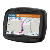
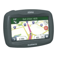
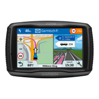
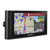
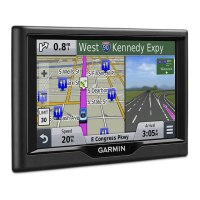
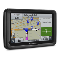
Explanation of device hardware components, ports, and features.
Information on using Garmin Express for product registration and software updates.
Procedures for powering the device on, off, and entering power saving mode.
Steps to ensure the device obtains satellite signals for navigation.
Explanation of symbols indicating device status like GPS, Bluetooth, and battery.
How to use buttons, keyboards, and on-screen menus for navigation.
Controls for audio output and screen display settings.
Selecting the vehicle type to optimize routing calculations.
System for providing warnings for road conditions like curves and speed limits.
Information on alerts for traffic enforcement camera locations.
Steps to select a destination and begin navigation.
Customizing how routes are calculated based on time, distance, or curves.
Understanding how the route is displayed on the map interface.
Visual assistance for selecting the correct lane before turns.
Manually adjusting routes and taking detours around obstacles.
Setting up multi-destination routes for deliveries or vacations.
Using, optimizing, and editing saved trip plans.
Adding schedule information and sharing trip plans with others.
Setting preferences to avoid toll roads, bridges, and other features.
Defining specific roads or areas to exclude from routes.
Monitoring fuel usage, estimating range, and setting low fuel alerts.
Searching for places by category, address, city, or business name.
Browsing and searching predefined locations like restaurants and gas stations.
Finding points of interest within larger locations like shopping malls.
Using specific tools to find addresses, intersections, cities, and Foursquare locations.
Viewing and sharing your current location with emergency services.
Storing, editing, and organizing favorite places.
Viewing maps, using map tools, and enabling map features.
Displaying upcoming points of interest or highway services along the route.
Personalizing the types of POIs displayed in the Up Ahead tool.
Accessing trip logs, customizing data fields, and resetting trip information.
Adjusting map layers, perspective, and detail level.
Connecting compatible phones and headsets via Bluetooth.
Enabling/disabling features and understanding status icons.
Placing, receiving, and managing phone calls using the device.
Playing music from the device or a connected smartphone.
Displaying and saving recorded paths of travel.
Retracing your recent track to the starting point.
Installing and configuring tire pressure sensors and alerts.
Receiving notifications for low tire pressure or sensor status.
Using tire pressure monitoring and the GPS compass feature.
Controlling a VIRB camera and logging vehicle service history.
Adjusting map, vehicle, and other system preferences.
Configuring route calculation, avoidances, and GPS simulator.
Adjusting screen orientation, color mode, units, time, and language.
Managing Bluetooth connections and proximity alert settings.
Details on water resistance, temperature, power, and battery life.
How to clean the device and avoid damage.
Steps for resetting the device and removing it from mounts.
Resolving issues with charging, battery life, and phone connectivity.
Addressing problems with satellite signal acquisition and computer recognition.
Instructions for inserting microSD cards to expand storage.
Steps for linking the device to a computer for data transfer.
Managing files via USB connection and safely disconnecting.
Checking GPS signal and acquiring additional maps or accessories.
| Display Size | 4.3 inches |
|---|---|
| Display Resolution | 480 x 272 pixels |
| Touchscreen | Yes |
| Map Updates | Lifetime |
| Battery Life | Up to 7 hours |
| Water Resistance | IPX7 |
| Bluetooth | Yes |
| Wi-Fi | No |
| Music Control | Yes |
| Smartphone Notifications | Yes |
| Curvy Roads Routing | Yes |
| Motorcycle-Specific POIs | Yes |
| Preloaded Maps | Yes |
| Display Type | WQVGA color TFT with white backlight |