Do you have a question about the Leica Geosystems TM6100A and is the answer not in the manual?
Type and serial number are indicated on the type plate.
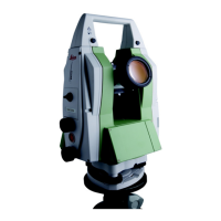
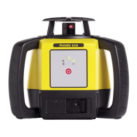
Describes main components, software, data storage, and power concepts.
Details keyboard layout, keys, screen elements, and navigation.
Covers instrument setup, battery management, and CompactFlash card use.
Procedures for checking and adjusting instrument errors like tilting axis.
Instructions for transporting, storing, cleaning, and maintaining the instrument.
Guidance on intended use, hazards, limits, and laser safety.
Details on angle measurement, instrument specs, environmental data, and corrections.
Information on the limited warranty and software license agreement.
| Measurement Range | Prism: 3, 500 m; Reflectorless: 300 m |
|---|---|
| Power Supply | Battery |
| Operating Temperature | +50°C |
| Working Range | Up to 600m (with detector) |
| Laser Diode | 635 nm |