183
To view map, satellite, or traffic layers
©
Press the Menu Key , touch Layers, then touch Traffic,
Satellite, Latitude, or another layer.
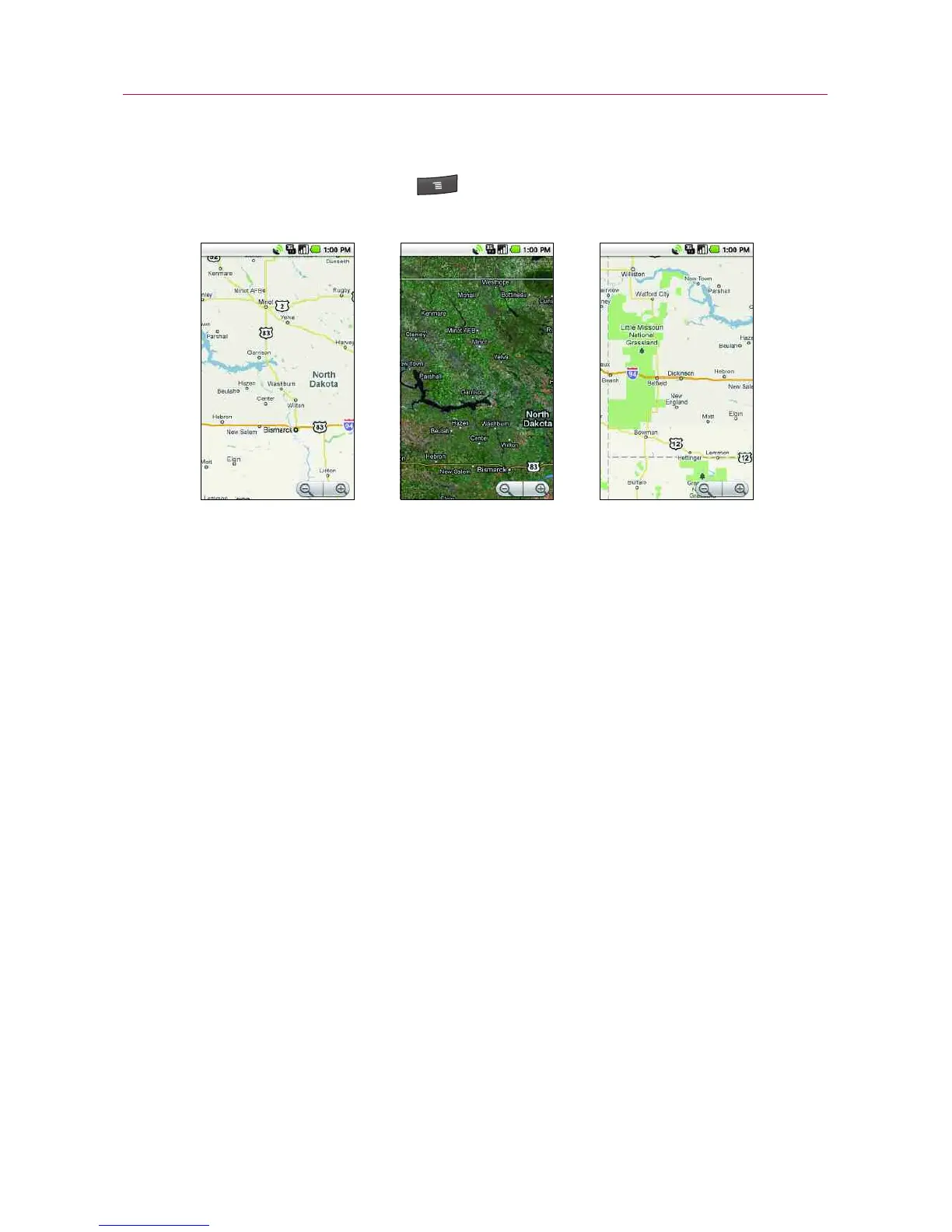
Map layer is the default view. It displays a street map with
the names of streets, rivers, lakes, mountains, parks, and
other features.
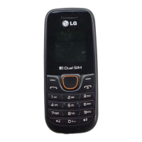
Satellite layer uses the same satellite data as Google Earth
TM
.
Satellite images are not real time. Google Earth acquires the
best imagery available, most of which is between 1 and 3
years old.
Traffic layer offers real-time traffic conditions, displayed over
roads as color-coded lines, from green through black.
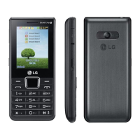
Not all locations have information to support all Map layers
or all zoom levels. Visit Google Maps on the web to learn
more about layers.
Google Maps
Map layer Satellite layer Traffic layer