1
Introduction Overview
Introduction
Magellan MapSend Lite version 2.0 is a freely licensed PC
application that offers a user a means to view and work with
maps that are usable on supported Magellan handheld GPS
receivers. The Magellan MapSend Lite can:
• Open maps that work with supported Magellan
handheld GPS receivers. Maps must be in eXporist
format with an .imi extension. Maps loaded on the
PC using MapSend products are exempt from this restriction.
° PC software maps (Magellan MapSend Topo, MapSend DirectRoute, etc.)
[Note: MapSend software needs to be fully installed for maps to be available to
MapSend Lite.]
° Magellan MapSend products preloaded on SD cards (MapSend Topo Mexico,
Topo France, etc.)
° MapSend BlueNav Charts
° MapSend Lakes USA products
° Detailed MapSend maps that have been loaded in the Magellan eXplorist.
° Background maps preloaded in a Magellan eXplorist
° “Magellan Certified” products created and distributed by third-parties.
• Create, edit and visualize user data, such as waypoints, tracks, routes and geocaches.
• Give access to utilities to convert user data between popular Magellan formats.
• Offer a way to transfer user data between a PC and Magellan eXplorist. (User data
can also be transfered between a PC and Magellan Meridian and SporTrak GPS
receivers.)
• Provide advanced search options to the user.
• Give access to geocaching tools that include view, manage and add/edit geocaches as
well as a proximity search and GPX/LOC support.
• Display topographic and 3-D information (when available from the uploaded map) in
an easy-to-view format.
• Provide street routing capabilities (when a street routing data map has been
uploaded).
• Load and save waypoints, routes and tracks in GPX format.
Note: Magellan MapSend Lite does not support the cutting and exporting of map regions.
Supported GPS Receivers
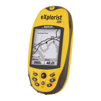
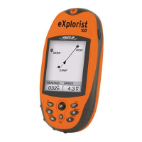
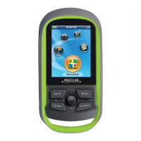
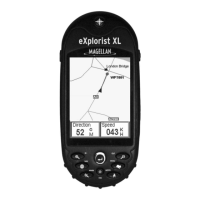
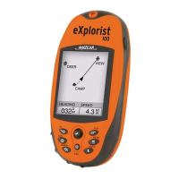
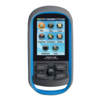
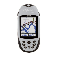
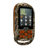
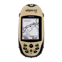
• eXplorist 210
• eXplorist 400 / 500 / 600
• eXplorist XL
Chapter Contents:
Introduction....................1
Installation ......................2
First Time Use.................3
 Loading...
