Do you have a question about the Marcum Technologies MX 7 GPS and is the answer not in the manual?
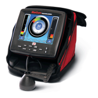
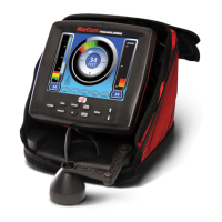
Divides the screen, default MX-7gps setting for popular configuration.
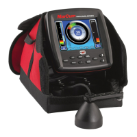
Use MX-7gps with mapping features for travel and planning.
Enable all 5 sonar screens and GPS simultaneously.
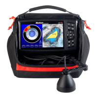
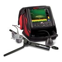
High-performance, lightweight, fast-charging 12V 10Ah battery.
Connect charger; red LED indicates charging, green means fully charged.
Two-year warranty against defects. Requires online registration.
Find solutions online or submit warranty claims via website.
Connect the red wire to the red terminal and black wire to the black terminal on the battery.
Install a Navionics Map Chip and push the Power Button to start.
Level the transducer in your ice hole using the retractable arm.
Press the Menu button to access Sonar, GPS, Display, and System settings.
Use arrow buttons to scroll around the map and navigate menus.
Use PLUS/MINUS buttons to zoom in/out on GPS windows or adjust settings.
Press SENS button, use +/- to adjust sensitivity for clear bottom reading.
RED light indicates hard bottom; narrow RED/GREEN indicates soft bottom.
Activate IR feature with PLUS/MINUS buttons to reduce display clutter.
Touch WAYPOINT button to mark current location or navigate to mark.
Enter/Back button activates functions or returns to previous screen.
The EXIT button returns you to the main SONAR/GPS screen.
| Display Size | 7 inches |
|---|---|
| Display Type | LCD |
| Display Resolution | 800 x 480 pixels |
| GPS | Yes |
| GPS Accuracy | 2.5 meters |
| Mapping Capability | Yes |
| Sonar Type | CHIRP |
| Temperature Sensor | Yes |
| Waterproof Rating | IPX7 |
| Sonar Frequency | 200 kHz |
| Sonar Power | 500 watts (RMS) |
| Depth Capability | 800 feet |