open waters. These charts show the nature and shape of the coast, depths of water,
general configuration and character of the bottom. Other markings on the nautical
charts include prominent landmarks, port facilities, aids to navigation, and marine
hazards. Changes brought about by people and nature require that nautical charts be
constantly maintained and updated to aid safe navigation.
National Ocean Service (NOS) charts may be purchased either directly by mail
from the NOS Distribution Branch or through an authorized agent. There are more than
1,700 nautical chart agents who sell them.
FAA/National Aeronautical Charting Oce
Distribution Division, AVN-530
6303 Ivy Lane, Suite 400
Greenbelt, MD 20770
Telephone: (301) 436-8301
Email: 9-AMC-chartsales@faa.gov
Website: http://naco.faa.gov/
Weather
Never leave the dock without first checking the local weather forecast. Weather
information is available from television, radio, local newspaper, online or from a weather
channel on a VHF radio.
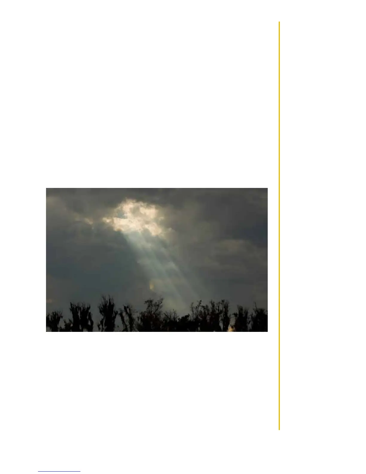
At certain times of the year, weather can change rapidly and boaters should al-
ways keep an eye out for weather conditions. While boating, pay attention to the follow-
ing:
2013 MasterCraft Owners Manual • Safety Knowledge • Page 1-16
• Watch for cloud build-up, especially rapid, vertically rising clouds.
• Sudden drop in temperature.
• Sudden change in wind direction and/or speed.
• On-board barometers, where placed on-board by the boat owner, should be
checked every two-to-three hours. A rising barometer indicates fair weather and a
rise in wind velocity; a falling barometer indicates stormy or rainy weather.
What to do in severe weather:
• Reduce speed, keeping enough power to maintain headway.
• Put on PFDs.
• Turn on running lights.
• Head for the nearest shore that is safe to approach, if possible.
• Head bow of boat into waves at about a 45-degree angle.
• Keep bilges free of water.
• Seat passengers on bottom of the boat, near the centerline.