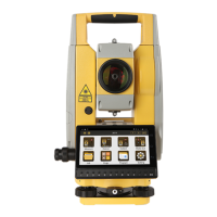
Do you have a question about the South N1 and is the answer not in the manual?
Explains setting station position using a known point.
Determines station position by measuring known points.
Orients the station using an unknown point and a known back sight.
Sets up the station using two temporary systems without a control point.
Sets out points at specified coordinates.
Stakes out points using angle and distance values.
Stakes out points along a reference line using offset values.
Reduces measured data to calculate coordinates.
Facilitates road design with alignment and curve data.
Guides stake out operations for road centerlines.