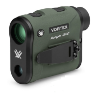
Do you have a question about the Vortex Razor HD 4000 GB and is the answer not in the manual?
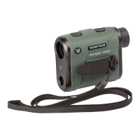
Instructions for inserting and replacing the CR2 battery in the device.
How to turn on the Razor HD 4000 GB and its auto-shutoff feature.
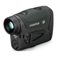
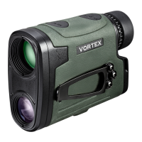
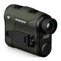
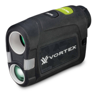
Guidance on adjusting the eyecup, focus, lanyard, and utility clip.
Guide to accessing and changing operational modes on the device.
Explanation of the four available target modes: Normal, First, Last, and ELR.
Instructions on choosing between HCD and BAL ranging modes.
Details on Horizontal Component Distance mode for angled shots.
Details on Ballistics Mode for wind/drop solutions and shot angle.
Setting the display units for distance measurement (Yards or Meters).
Adjusting the screen brightness through five available settings.
Configuring the automatic shutoff timer for the device.
Choosing a ballistic profile for wind/drop solutions in BAL Mode.
Enabling or disabling Bluetooth for pairing with devices and apps.
Setting the display unit for temperature (°C or °F).
Setting the display unit for pressure (inHg or Mbar).
Setting the display unit for wind speed (MPH or MPS).
Using the Measure button to continuously range targets for 10 seconds.
Accessing different data displays when in BAL Mode.
Displaying atmospheric pressure data from environmental sensors.
Displaying the target's direction relative to north.
Displaying wind direction and speed data.
Displaying ballistic solution, wind, and shot information.
Viewing and inputting shot angle, direction, and range data.
Locating position, dropping pins, and viewing targets on a map.
Manually entering and building range cards with target data.
Diagrams showing different ballistic solution data sources.
Instructions to download and set up the GeoBallistics® App.
Step-by-step guide to wirelessly connect the rangefinder to the app.
Configuring which data from the rangefinder is sent to the GeoBallistics® App.
Procedure for calibrating the device's compass and inclinometer.
Customizing app behavior, including auto-locate and solution rounding.
Enabling or disabling features like Spin Drift and Coriolis Effect.
Using mobile device sensors when the rangefinder is not connected.
Setting the distance increments for the chart display.
Selecting display units for distance (Yards or Meters).
Setting units for rifle profile measurements (in/cm, ft/s/m/s).
Setting units for weather data (Pressure, Temperature, Altitude, Wind Speed).
Steps to create new ballistic profiles within the GeoBallistics® App.
Explanation of G1 and G7 drag models for bullet calculations.
Understanding atmospheric standards for Ballistic Coefficient calculations.
Measuring height from rifle bore to optic center.
Setting the distance for rifle zeroing.
Inputting vertical aim point offset at zero distance.
Inputting horizontal aim point offset at zero distance.
Defining the rifle barrel's twist rate for accurate ballistics.
Entering projectile speed as it leaves the muzzle.
Choosing between MRAD or MOA for drop chart display.
Accounting for inconsistencies in turret tracking.
Accounting for inconsistencies in windage turret tracking.
Optional data overlays for Vital Size, Energy, and Velocity Thresholds.
Procedure for duplicating existing ballistic profiles.
Steps to update data points for firearm and ammunition.
Assigning identifiers (A, B, C) and syncing profiles with the app.
How to change active profiles directly on the rangefinder.
Procedure for removing ballistic profiles from the app.
Methods for accounting for wind in BAL Mode calculations.
Using the device's preset mode for wind calculations.
Using the device's patented mode to track wind direction and speed.
Inputting weather data directly into the GeoBallistics® App.
Connecting the rangefinder and Kestrel through the GeoBallistics® App.
Steps to connect a Kestrel device to the app for weather data.
How Kestrel data enhances ballistic solutions via the app and rangefinder.
Procedures for disconnecting Kestrel devices from the app and rangefinder.
Advice for optimal performance and accuracy when using the rangefinder.
Instructions for cleaning the exterior lenses of the rangefinder.
Information regarding lubrication of internal components.
Recommendations for storing the rangefinder to prevent damage.
Solutions for connectivity issues between the rangefinder and the app.
Troubleshooting steps when paired devices fail to communicate.
Steps to resolve compass calibration failures.
FCC compliance information for the device.
Industry Canada compliance information.
Compliance information for Australia and New Zealand.
VCCI compliance information for Japan.
Precautions regarding laser eye safety and proper device usage.
Important safety guidelines for battery, handling, and use.
Information about the unconditional warranty promise for repair or replacement.
| Magnification | 7x |
|---|---|
| Objective Lens Diameter | 25 mm |
| Ranging Distance (Reflective) | 4000 yards |
| Ranging Distance (Deer) | 2200 yards |
| Weight | 9.9 oz |
| Battery Type | CR2 |
| Max Range | 4000 yards |
| Max Angle Reading | ± 70 degrees |
| Field of View | 341 ft @ 1000 yards |
| Reticle | HCD (Horizontal Component Distance) |