Do you have a question about the Alpine INE-S920E and is the answer not in the manual?
Crucial safety warnings and precautions for proper use of the navigation system.
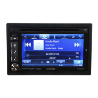
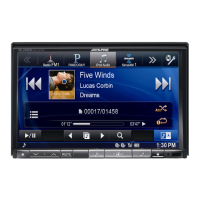
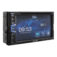
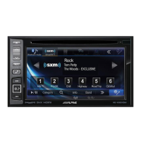
Overview of unit features like user settings, favorites, and sound customization.
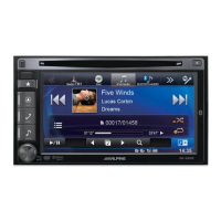
Instructions for initial setup, accessory list, and basic operations.
General procedures for accessing and using the setup menus.
Configuration options for language, display, security, and system settings.
Adjustments for audio output, equalization, time correction, and crossover settings.
Settings for managing audio/visual sources, language, and disc options.
Prerequisites and initial setup steps for Bluetooth connectivity.
Procedures for making and receiving calls using the Bluetooth system.
How to play music and control audio playback via Bluetooth.
Connecting and operating external devices like DVD players or TV receivers.
Setup and operation of connected cameras for rear or front view.
How to play music and video files from a USB memory device.
Methods for searching music files by name, artist, album, or genre.
How to play music and video files from an iPod or iPhone.
Various search methods for music content on iPod/iPhone.
Instructions on how to update the system software via USB.
Technical details about DVD disc structure and capabilities.
Technical specifications for the display unit.
Technical specifications for the FM radio tuner.
Technical specifications related to USB connectivity and playback.
Step-by-step guide for installing the unit in the vehicle.
Detailed wiring diagrams for connecting various components and accessories.
Crucial safety instructions and warnings for using the navigation system.
Initial setup process for the navigation software, including language and preferences.
Explanation of touch screen controls, buttons, and icons used in the navigation interface.
Overview of the map display, including position markers and navigation data.
Various methods for choosing a destination, including address and POI search.
Step-by-step guide to entering address details for route planning.
How to find and select destinations from predefined points of interest.
Flexible search method for addresses or places using a single input field.
How to set a point on the map as the destination for navigation.
Storing frequently used locations for easier destination selection.
Accessing previously visited destinations from the navigation history.
Setting a destination by entering its geographical coordinates.
Navigating to a location geotagged in a photo file.
Creating multi-destination routes by adding points sequentially.
Displaying the complete planned route for an overview.
Reviewing route details like time, length, and traffic information.
Options for changing an active route, such as adding waypoints.
Comparing different route options based on planning methods.
Customizing route calculation by including or excluding road types.
Storing frequently used locations for easier destination selection.
Marking locations for alerts, like speed cameras or railway crossings.
Editing previously saved or uploaded alert points.
Simulating the planned route to preview the journey and maneuvers.
Setting destinations for off-road navigation routes.
How to navigate using straight lines between points off public roads.
Explanation of core navigation concepts like Smart Zoom and route calculation.
How the software calculates routes based on preferences like speed and distance.
How to plan fuel-efficient routes and view associated cost/emission data.
Setting up alerts for exceeding speed limits on the road.
Adjusting audio volume, voice guidance, and setting up alerts.
Configuring how traffic information affects route calculation and warnings.
Customizing route calculation by selecting vehicle types and road preferences.
Fine-tuning the map display, including view modes, colors, and POI visibility.
Adjusting on-screen information like data fields, lane guidance, and junction views.
Customizing language, units, date/time formats, and time zone for the application.
Managing trip logs, including saving and accessing travel statistics.
Explanation of how GPS signals are received and processed for positioning.
Explanation of how routes are structured with start points, destinations, and maneuvers.
Legal notice regarding the product and its information content.
| Resolution | 800 x 480 pixels |
|---|---|
| GPS Navigation | Yes |
| Bluetooth | Yes |
| Apple CarPlay | Yes |
| Android Auto | Yes |
| USB Ports | 1 |
| Audio Output | 4 x 50W |
| Touch Screen | Yes |
| DVD Player | Yes |
| SD Card | Yes |
| HDMI Input | No |
| CD Playback | Yes |
| Radio | Yes |
| Voice Control | Yes |
| Backup Camera Input | Yes |