K
krobinsonJul 26, 2025
How to reset BMW Navigator III GPS?
- AAlyssa ParksJul 26, 2025
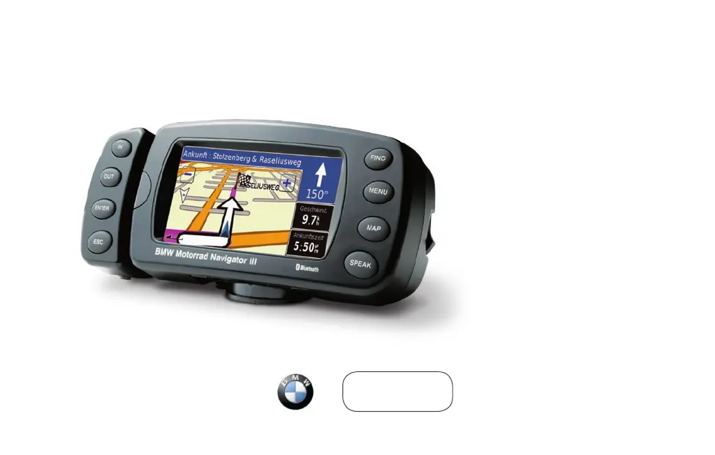
To reset your BMW Navigator III GPS and clear all user data, power off the device and then power it back on. As it starts up, press and hold the Find key on the front of the Navigator III. Continue holding the FIND key until the message “Do you really want to erase all user data?” appears. Touch Yes to clear all user data. This will restore all original settings and delete your Favorites and Recent Finds.