east-west margin of the map.
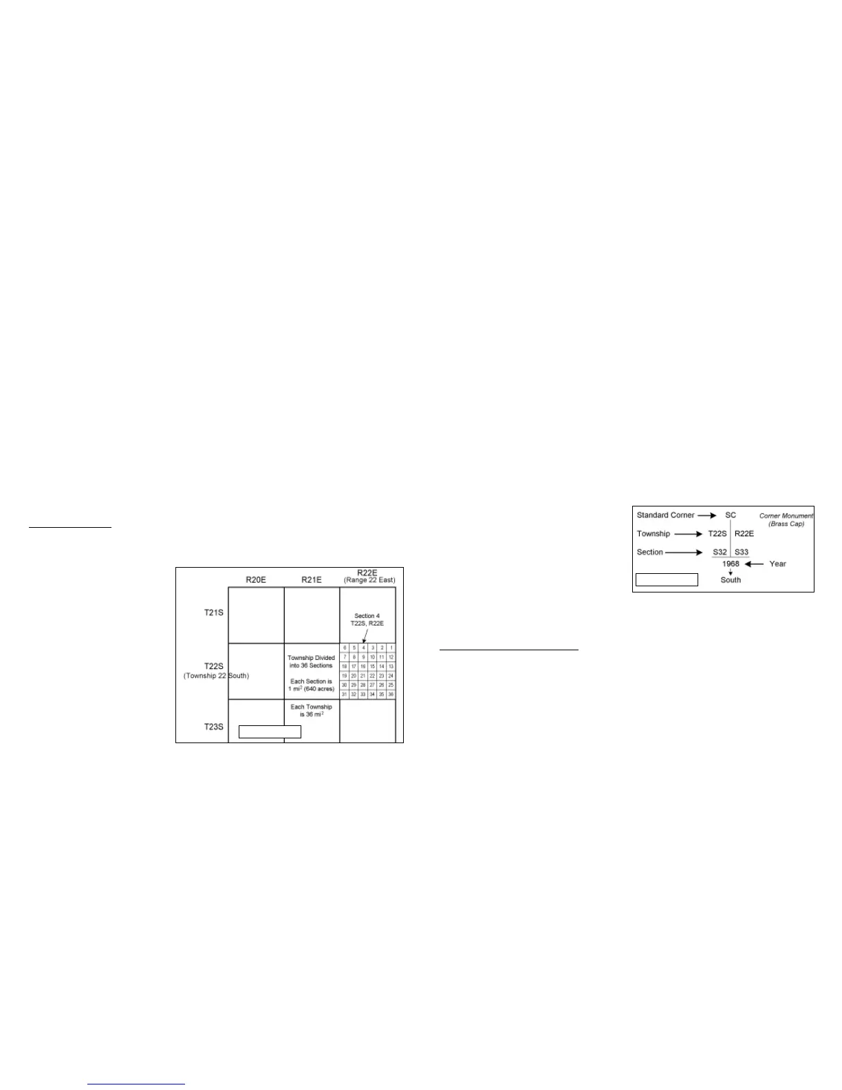
By specifying the township and range, a township area of land is located. The large squares
in figure 27 are townships. For example, T22S, R22E specifies the township area with 36 sec-
tions, each numbered and 1 mi
2
(640 acres) apiece. This makes a township is 36 mi
2
. A 1mi
2
section of land is located by calling out the section number, township and range -- Section 4,
T22S, R22E.
A section is further divided into quarter sections by straight lines connecting quarter section
corners or opposite boundaries. There are eight monuments on each section. One monument
on each corner and one midway between corners on the section boundary lines (not shown).
If your claim is in a surveyed area of public land, it will be located within a section shown on a
topo-map. To locate your claim, it is then nec-
essary to tie, or locate your claim relative to a
section corner monument. The corner monu-
ment may be a pipe with a brass cap fastened
to the top. It may be a brass tablet. 3 1/4 by 3
1/2 inches, attached to a rock outcropping and
set in concrete. The brass is marked with letters
and figures that give the section, township and
range. It is marked so that it must be read while standing on the south side of the monument.
The south side of the monument is marked with the date of the monument. (Fig 28)
8.3 Sample Claim Location Map
Figure 29 on page 20, shows the location monument with claim extending 300 feet to each
side of the vein center line and 1,500 feet long. The claim is tied or located to a section cor-
ner post by showing the bearing to the corner post, the number of feet to the post and the sec-
tion, township and range.
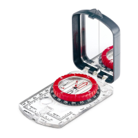
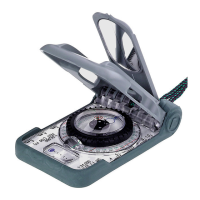
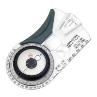
The bearing is obtained with your Brunton Pocket Transit by selecting one of your claim cor-
ners as your tie point, and sighting from the tie point to the section corner post. The azimuth
f. The location and description of each corner, with the markings thereon.
6. Only one location may be claimed on each location notice or location certificate (NRS
517.020, 517.050).
7. Penalty for late recording: “any record of the location of a lode mining claim which shall not
contain all the requirements named in this section recorded on or after July 1, 1971, shall
be void, and every location of a mining claim recorded on or after July 1, 1971, shall be
absolutely void unless a certificate of location thereof substantially complying with the
above requirements is recorded with the county recorder of the county in which the claim
is located within 90 days after the date of location.” (NRS 517.050 (2))
Other states commonly require some form of discovery work other than preparation of a map.
This may consist of digging a shaft or drilling a specified footage of discovery holes. Check
the mining statutes of every state to determine its specific requirements.
8.2 Surveyed Land
In locating your mining claims and constructing your claim location map, it will be helpful to
understand how lands are divided up by the rectangular system of surveys. This system is the
basis for the identification, adminis-
tration and disposal of public lands.
Figure 27 illustrates how lands are
divided by survey. Lines running
north-south are called range lines.
R22E stands for Range 22 East of
the principal meridian. Lines run-
ning east-west are township lines.
T22S stands for Township 22 South
of the base line. On a topo-map, the
range lines are shown at the top and
bottom of the printed map.
Township lines are shown on the
Figure 27
Figure 28
1817