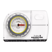
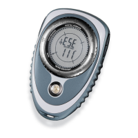
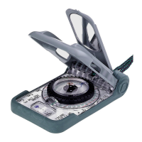
The transit can be used as a level, to run level
lines, or to determine points of elevation which
is the same as the users eyes.
1. Adjust Vernier to 0° inclination, using
the lever on the back of the body.
2. Place transit on its side, on an object, or
use the tripod. (Fig 26)
3. Tilt instrument until the bubble is centered in
the long level.
7.2 Plumb Bob
1. Suspend the transit in an open position
from the large peep sight. (Fig 26)
2. Use the small sight as the pointer.
7.3 Inclination
1. Place instrument on its side on and object. (Fig 26)
2. Move lever on the back of the body until the bubble in the Long Level is centered.
3. Read inclination in either degrees or % grade.
If you were to discover gold, silver, or another valuable mineral deposit, you would want to
“stake a claim”. It would be necessary to construct a map of your claim, and tie (locate) your
claim relative to some known position. Your Brunton Pocket Transit is ideally suited for this
job, since it is essentially the same instrument used by geologists, mining engineers for
prospecting and mapping around the world, since 1896.
8.1 Laws Governing Prospecting
In 1872 the General Mining Laws were enacted, and since then more laws have been passed
governing the western United States. Currently, state laws vary widely and the federal
laws concerning mining claims are quite vague. A discussion of the law is beyond the
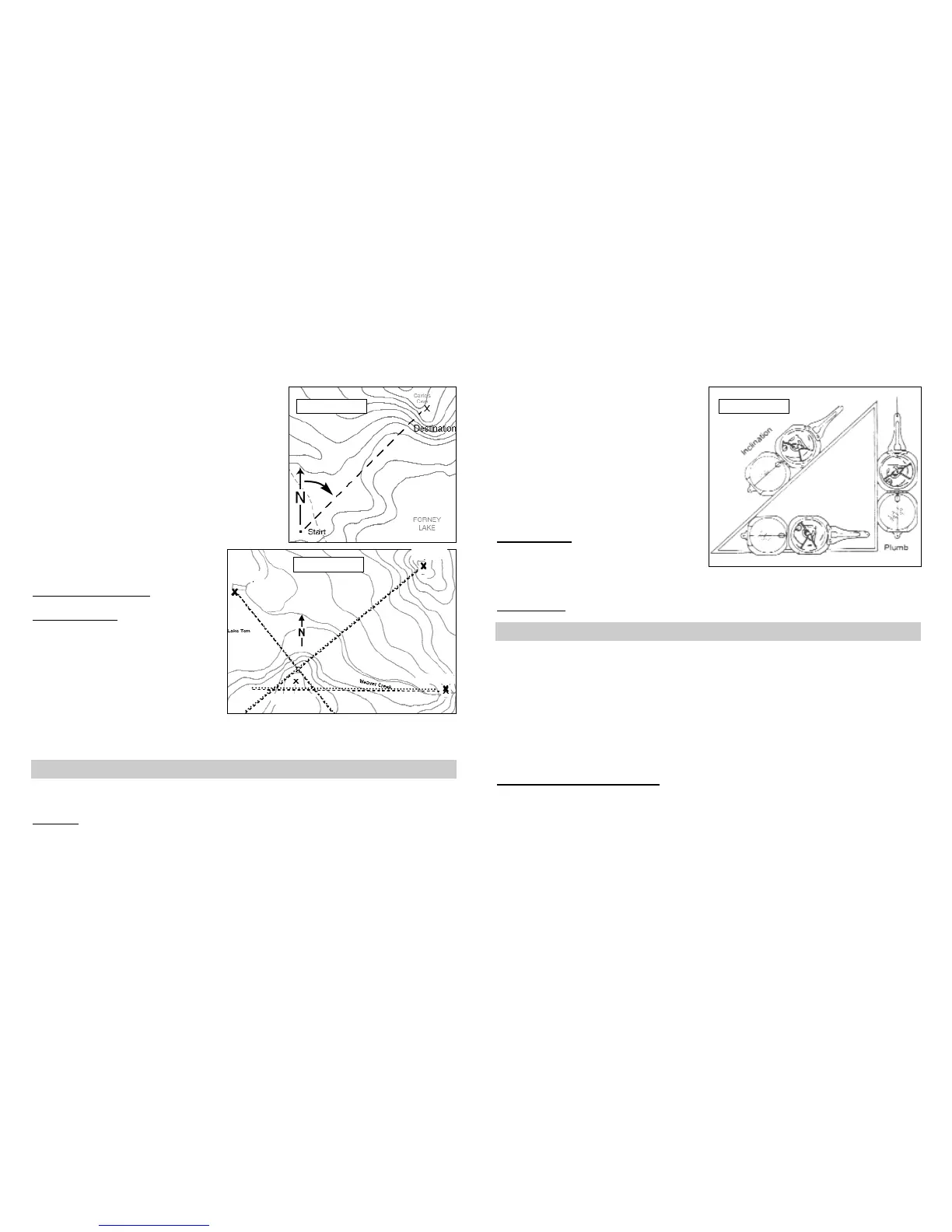
2. Draw a line connecting both marks.
3. At the starting position, draw a true north line. (Fig
24, p.13)
• Use true north indicator in the legend, or the edge
of printed topo-map for reference.
4. Using the Alidade (Com-Pro models only), or a pro
tractor, find the angle from the starting position to the
destination, “X”.
Remember, the true north line is 0°.
From the start position in the field, sight
azimuth determined from the map, and you
will be facing the destination. See section,
4 - Azimuth Measurement
, for help.
6.2 Triangulation
Triangulation is a method used to find your
approximate position, using a compass
and a map. Make sure the pocket transit is
adjusted for magnetic declination.
1. Identify three landmarks in the field, that
you can identify on a topo-map.
2. Sight an azimuth to each land mark and document.
3. Draw an azimuth line on the map for each azimuth.
4. Your position is within the small triangle, or position formed by the intersection of the three
lines. (Fig 25)
7.1 Level
7 -- Additional Measurement
Figure 24
Figure 25
Baldy Peak
Boat Ramp
Beaver Falls
Your Position
50°
90°
320°
8 -- Prospecting
1413
Figure 26