SV-MAP-270 Navigation Mapping Software
SkyView Pilot’s User Guide - Revision M 7-9
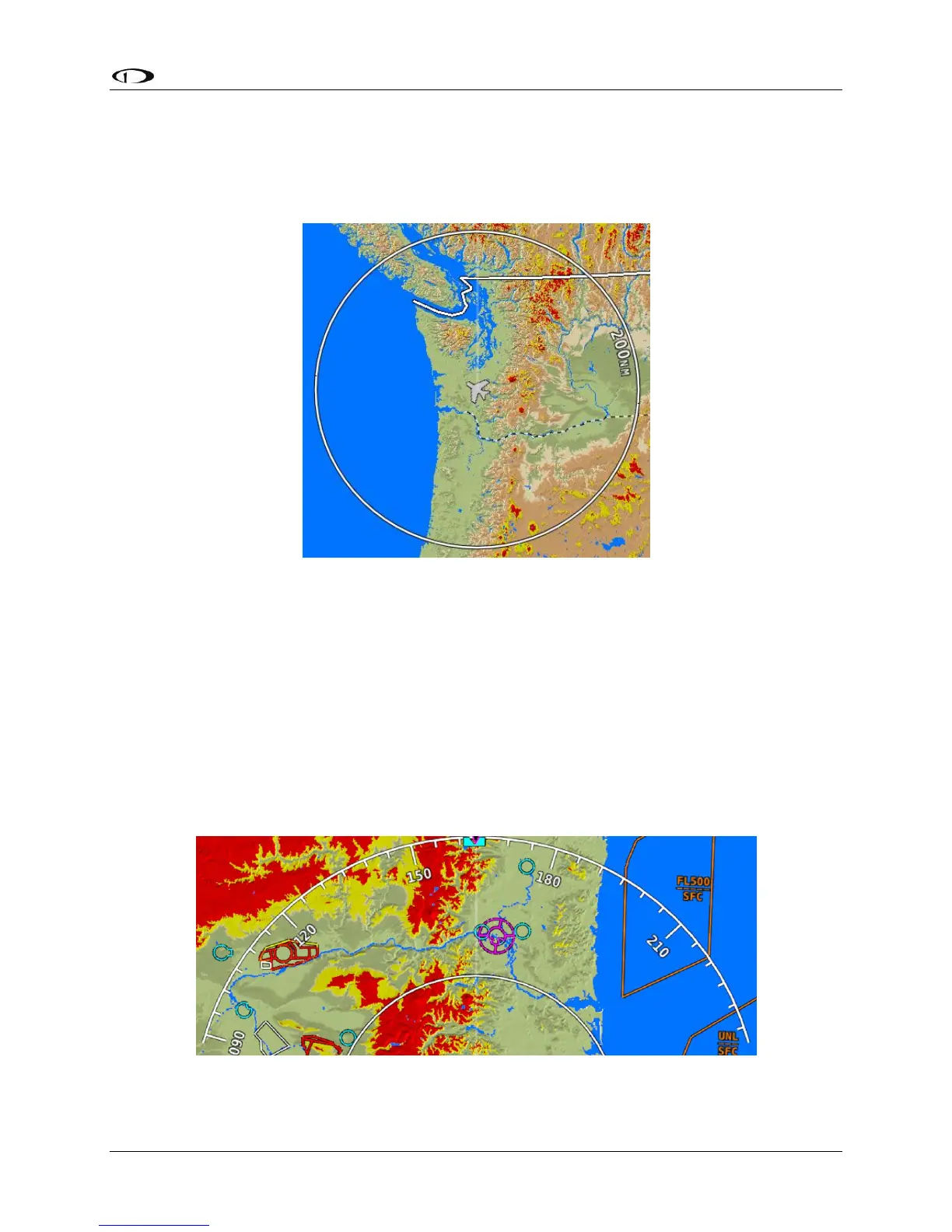
Distance Circle
The distance shown on the map between the aircraft icon and the inner circular ring is the
distance between them. The distance between the aircraft and the outer Ground Track Arc is
twice this distance.
Figure 56–Distance Circle
This distance is displayed in the middle of the right side of the Map Page, near the Distance
Circle. Turn the (MAP) joystick to zoom in and zoom out. Zoom level can be adjusted between
0.3 and 1200 nautical miles. Units can be set to miles, nautical miles, or kilometers. Reference
the SkyView System Installation Guide instructions on how to change the displayed units.
The heading arc is explained in the next section.
Ground Track Arc, Current Ground Track and Marker, Heading Bug, North Marker,
and Course Line
The ground track arc as shown in Figure 57 is centered on the current ground track.
Figure 57–Ground Track Arc