Do you have a question about the Garmin Echomap Plus 40 series and is the answer not in the manual?
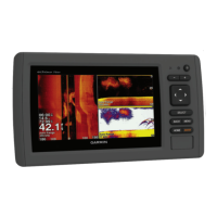
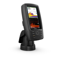
Details the physical layout, buttons, and ports of the ECHOMAP Plus devices.
Explains how to connect the device to the ActiveCaptain app for enhanced functionality.
Guides users on personalizing the Home screen and configuring chart pages.
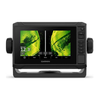
Provides steps to create custom split-screen pages for specific needs.
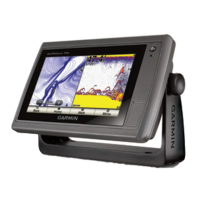
Details different chart views like Navigation and Fishing, and how to interact with them.
Explains tools for measuring distance, creating waypoints, and viewing navaids.
Explains AIS symbols, how targets are displayed, and tracking information.
Covers setting collision alarms, AIS distress signals, and test alerts.
Guides on creating maps and accessing the Quickdraw Community.
Explains how to download and share custom contour maps.
Covers chart navigation, marking waypoints, and MOB/SOS locations.
Details creating, saving, editing, and navigating routes.
Explains how to set up and follow Auto Guidance paths.
Covers stopping sonar, changing sonar views, and basic view types.
Describes the Traditional sonar view and its display elements.
Introduces ClearVü, SideVü scanning, and Panoptix sonar view capabilities.
Details LiveVü and RealVü 3D sonar views for underwater imaging.
Explains the Flasher view and its associated page shortcuts.
Guides on selecting transducer type and calibrating the compass.
Covers selecting sonar sources and adjusting appearance settings.
Explains the autopilot screen layout and how to engage the system.
Details adjusting steering increments and power saver settings.
Covers setting vessel type and configuring sail racing features.
Explains how to use starting line guidance for optimal race starts.
Details how to view various gauges like compass, trip, engine, and fuel.
Covers customizing gauge displays and setting alarms for gauges.
Explains DSC functionality and integration with VHF radios.
Covers handling distress calls and tracking vessels.
Guides on opening the media player and selecting media sources.
Details how to play music and browse audio files.
Covers setting auto power on and adjusting system settings.
Details display adjustments and GPS configuration.
Covers settings related to the vessel, such as type and keel offset.
Details NMEA, Wi-Fi, and other communication settings.
Covers navigation settings and display of other vessels.
Explains how to share and manage user data via memory card.
Addresses common problems like GPS signal loss and power issues.
Provides guidance on screen cleaning and taking screenshots.
Details the general process for mounting a transducer.
Explains how to connect power and data cables.
Provides guidelines for choosing the optimal transducer mounting location.
Details the steps for installing the transom-mount hardware.
Provides precise instructions for printing mounting templates.
Ensures correct page scaling and rotation for accurate template printing.
| Display Resolution | 480 x 272 pixels |
|---|---|
| Waterproof Rating | IPX7 |
| GPS | Yes |
| Chartplotting | Yes |
| Sonar Support | Yes |
| Display Size | 4.3 inches |
| Mounting Options | Flush mount |
| Sonar Compatibility | CHIRP, ClearVü |