Do you have a question about the Garmin echomap 40 series and is the answer not in the manual?
Procedure for updating the device's internal software using a memory card.
Setting up an alarm for potential collisions with AIS targets.
Information on receiving and responding to AIS distress signals.
Information on setting and following courses for navigation.
Using the Go To function to navigate directly to a destination.
Managing recorded locations (waypoints) on the device.
Managing saved sequences of waypoints for navigation.
Creating and saving a route with waypoints for future use.
Recording and managing the vessel's path.
Using the Auto Guidance feature to plot optimal navigation paths.
Steps to set up and navigate using an Auto Guidance path.
How to create a new Auto Guidance path to a destination.
Setting parameters that influence Auto Guidance line calculation.
Explains the different sonar display modes available.
Setting the correct transducer type for optimal sonar performance.
Accessing various sonar configuration settings.
Navigating to the location of a vessel reporting a distress call.
Solutions for common device issues and problems.
Steps to resolve issues with the device failing to acquire GPS signals.
Troubleshooting power issues, including the device not turning on or shutting off.
Resolving issues with waypoints being created in incorrect locations.
| Brand | Garmin |
|---|---|
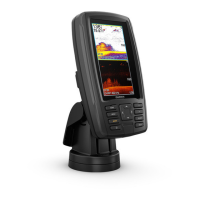
| Model | echomap 40 series |
| Category | Marine GPS System |
| Language | English |