Do you have a question about the Humminbird 385ci Combo and is the answer not in the manual?
Instructions for turning on the Humminbird fishfinder unit.
Explanation of sonar technology and how it functions in the fishfinder.
Overview of GPS functionality and its use with the fishfinder.
Identifies key information and indicators shown on the sonar screen.
Explains how sonar data is represented on the display.
Introduces the various display views for sonar and navigation data.
Details about individual sonar display modes like Sonar View.
Describes the traditional flasher format for sonar data.
Details how to capture and review screen snapshots and recordings.
Details how to use the chart view and its cartography features.
Explains how to mark, save, and manage waypoints, routes, and tracks.
Covers settings for tracks, waypoints, routes, and chart orientation.
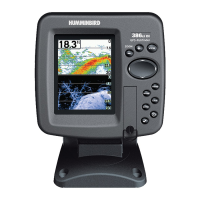
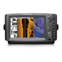
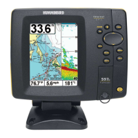
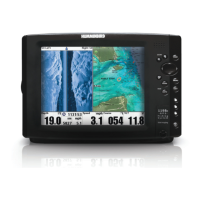
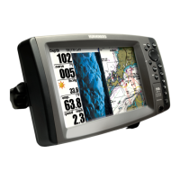
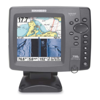
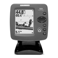
Illustrates the layout of the control head and its primary keys.
Details the operation of essential keys for navigation and control.
Details the specific operations of critical navigation and marking keys.
Outlines the organization of the fishfinder's menu system.
Describes the initial menu choices for operating modes like Normal and Simulator.
Explains the main menu structure and how to change user modes.
Details settings related to sonar beam, sensitivity, and display.
Covers settings for map display, depth shading, and chart details.
Details unit configuration for units, language, and display readouts.
Provides solutions for common problems like power loss and display issues.
Lists the technical specifications of the fishfinder unit.
Defines key sonar, GPS, and navigation terminology used in the manual.
Provides contact information for customer support and service.
| Display Type | Color TFT |
|---|---|
| Sonar Type | DualBeam |
| Maximum Depth | 600 ft |
| GPS | Yes |
| Target Separation | 2.5 Inches |
| Temperature | Yes |
| Speed | Yes |
| Backlight | Yes |
| GPS Receiver | Internal |
| GPS Trackplotting | Yes |
| Waypoints | 3000 |
| Routes | 50 |
| Optional 3D | No |
| Humminbird PC | Yes |
| Upgradable Internal Software | Yes |
| Split Screen Zoom | Yes |
| Split Screen Bottom Lock | Yes |
| Large Digits View | Yes |
| Custom View Selections | Yes |
| Temperature Alarm | Yes |
| Chartplotting | Yes |
| Transducer | Included |
| Waterproof Rating | IPX7 |
| Battery | 12V |
| Display Size | 3.5 inches |
| Sonar Frequency | 200 kHz |
| Sonar Coverage | 20° / 60° |
| Depth Capability | 600 feet |
| Mapping | Built-in |
| Power Output (Peak to Peak) | 2400 Watts |
| Unit Size Installed | 3.5 inches |
| Mount Type | Bracket |
| Cartography | Built-in |
| Display Colors Grayscale | 256 |
| Power Output | 2400 Watts (Peak-to-Peak), 300 Watts (RMS) |