Do you have a question about the Leica Viva and is the answer not in the manual?
Access ASCII Input settings and select F3 Edit to configure.
Enable 'Receive ASCII data via a device' and set connection parameters.
Choose the SonarMite from the found Bluetooth devices.
Confirm Bluetooth connection details and device ID.
Store ASCII data as 'Depth' annotation.
Add Annotation 1 (Depth) and Antenna height to display lines.
Enable 'Log auto points' for automatic data recording.
Ensure SonarMite.FRT is selected and configure CSV export.
Set file extension to CSV and perform the export.
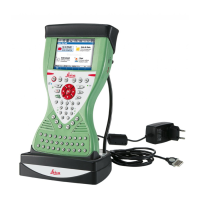
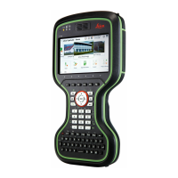
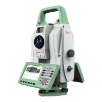
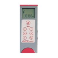
The Leica Viva system, when integrated with the Ohmex SonarMite echo sounder, offers a streamlined solution for hydrographic surveying, specifically designed to capture and record depth data wirelessly. This integration leverages Bluetooth technology to connect the SonarMite echo sounder to a Leica CS15 Controller, eliminating the need for physical cables that were common with previous models like the SonarLite. The primary function of this setup is to enable the automatic recording of echo sounder depths as annotations to GPS positions, thereby enhancing the efficiency and accuracy of survey operations.
The core functionality revolves around the acquisition and integration of depth data with positional information. The SonarMite echo sounder measures the depth of water, and this depth reading is transmitted via Bluetooth to the Leica CS15 Controller. Within the controller, the SmartWorx Viva software is configured to receive and process this incoming ASCII data. When a GPS position is measured, the most recently received depth from the SonarMite is automatically associated with that point as an annotation. This ensures that each surveyed point not only has precise geographical coordinates but also an accompanying depth measurement, crucial for creating accurate bathymetric maps and profiles. The system is designed to be user-friendly, guiding the operator through the necessary configuration steps to establish the Bluetooth connection, set up data display on the survey screen, and prepare for data export.
The usage of the Leica Viva with the SonarMite echo sounder is structured to provide flexibility and automation for various surveying scenarios.
While the manual primarily focuses on the operational aspects and configuration, implicit maintenance considerations for such a system include:
In summary, the Leica Viva and Ohmex SonarMite integration provides a robust and efficient system for hydrographic surveying, emphasizing wireless data transfer, flexible configuration for various survey methods, and a clear pathway for data export, all while requiring standard electronic device care for optimal performance.
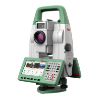
| Type | Total Station |
|---|---|
| Operating temperature | -20°C to +50°C |
| Protection class | IP55 |
| IP Rating | IP55 |
| Distance accuracy (Prism) | 1 mm + 1.5 ppm |
| Distance accuracy (Reflectorless) | 2 mm + 2 ppm |
| Range | Reflectorless: Up to 1, 000 m |
| Weight | 5.2 kg (with battery) |
| Display | Graphic color touchscreen |