Do you have a question about the Magellan Triton 1500 and is the answer not in the manual?
Crucial advice against using the device while driving to prevent accidents and injury.
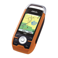
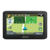
Identifies and explains the various components displayed on the Map Screen.
Explains the functionality of buttons like Menu, Page/Goto, Zoom, and Enter on the map screen.
Explains compass display, calibration, and True North settings.
Step-by-step guide to creating a waypoint from current location, map, or coordinates.
Instructions on saving a recorded track as a trail.
Guide on how to create a geocache waypoint with relevant details.
Explains fields for customizing geocache details like difficulty, terrain, and hints.
Steps to initiate the route creation process by selecting a starting point.
Step-by-step process to select and go to a saved waypoint.
Instructions for modifying existing waypoint details like icon, name, or location.
Procedure for removing a saved waypoint from the device.
Guide to setting a destination using predefined places from maps.
How to select and start navigation along a saved route.
Configuration of units, north reference, coordinate system, and map datum.
| Display Size | 3.5 inches |
|---|---|
| Display Resolution | 320 x 240 pixels |
| Touchscreen | Yes |
| Expandable Memory | SD card slot |
| Battery | Rechargeable lithium-ion |
| GPS Receiver | SiRFstarIII |
| Preloaded Maps | Yes |
| Map Coverage | North America |
| Basemap | Yes |
| Waterproof | No |
| Water Resistance | IPX7 |