1;;\
-24-
CELESTIAL COORDINATES: DECLINATION AND RIGHT ASCENSION
.Analogous to the Earth-based coordinate system of latitude
and longitude, celestial objects are mapped according
to a coordinate system on the "celestial sphere," the
imaginary sphere on which all stars appear to be placed.
The Poles of the celestial coordinate system are defined
as those 2 points where the Earth's rotational axis, if
extended to infinity, North and South, intersect the
celestial sphere. Thus, the North Celestial Pole is that
point in the sky where an extension of the Earth's axis
through the North Pole intersects the celestial sphere.
In fact this point in the sky is located near the North
Star, or Polaris.
On the surface of the Earth, "lines of longitude" are
drawn be~ween the North and South Poles. Similarly,
"lines of latitude" are drawn in an East-West direction,
parallel to the Earth's equator. The celestial equator
is simply a projection of the Earth's equator onto the
celestial sphere. Just as on the surface.of the Earth,
imaginary lines have been drawn on the celestial sphere
to form a coordinate grid. Celestia~ object positions
are mapped on this grid, in the same manner as positions
on the Earth's surface are specified by their latitude
and longitude.
The celestial equivalent to Earthly latitude is called
"Decl~nation," or simply "Dee," and is measured in de-
grees, minutes, and seconds north ("+") or south (ft_") of
the celestial equator. Thus any point on the celestial
equator (which passes, for example, through the constella-
tions Orion, Virgo, and AquariHs) is specified as having
0°0'0" Declination. The Declination of the star Polaris,
located very near the North Celestial Pole, is +89.20.
The celestial equivalent to Earthly longitude is called
"Right Ascension," or "R.A." and is measured in hours,
minutes, and seconds from an arbitrarily defined "zeroft
line of R.A. passing through the constellati9n Pegasus.
Right Ascension coordinate9 range from ohrom1nosec up to
(but not including) 24hrom1nOsec. Thus there are 24
primary lines of R.A., located at 150 intervals along the
celestial equator. gbjects located further and further
east of the prime (0 OmOs) Right Ascension grid line
carry increasing R.A. coordinates.
with all celestial objects therefore capable of being
specified in position by their celestial coordinates of
Right Ascension and Declination, the task of finding ob-
jects (in particular, faint objects) in the telescope is
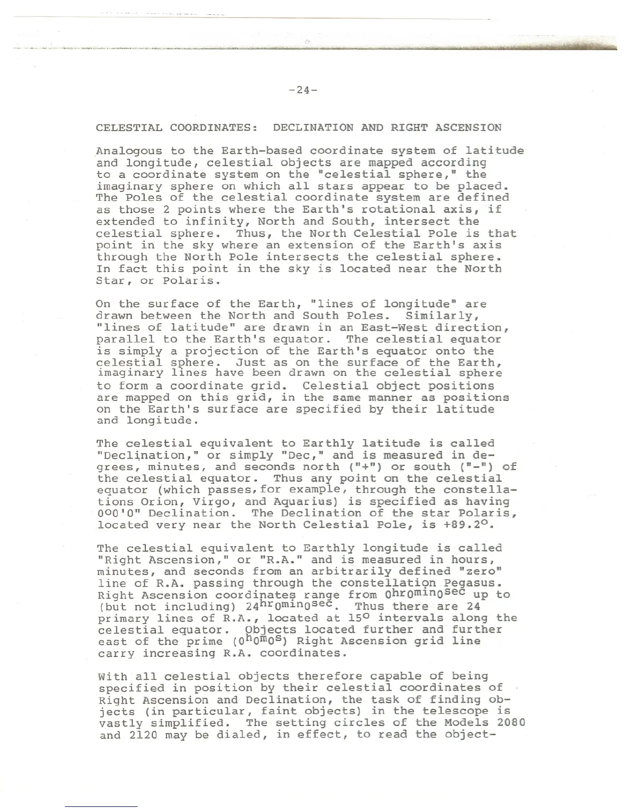
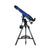
vastly simplified. The setting circles of the Models 2080
and 2120 may be dialed, in effect, to read the object-