Table 9: GPS Triggers
Trigger Type Trigger Event
Power-up Radio powers up in TMO.
Power-down
Radio powers down in TMO.
Emergency condi-
tion
Radio enters emergency operations.
Periodic Given time interval after the last location report expires.
Moved Radio position has changed by at least the distance defined (the radio checks the movement
from the last known position at an interval).
TMO ON Successful registration on entering TMO from DMO.
DMO ON Before TMO deregistration, and before entering DMO.
Transmit Inhibit
Mode ON
Radio is about to enter TXI.
Transmit Inhibit
Mode OFF
Radio has successfully registered after leaving TXI.
Low battery Radio detects its battery level has reached or fallen below the level specified by service pro-
vider.
Loss of GPS Radio detects a loss of GPS for a minimum duration defined by service provider.
Recovery of GPS Radio detects a recovery of GPS signal for a minimum duration defined by service provider.
Status entered Radio sends a status defined in the CP for location reporting by pre-programming.
Car Kit Connected Radio detects that a Car Kit has been connected.
Car Kit Disconnect-
ed
Radio detects that a connected Car Kit has now been disconnected.
GPS ON Positioning device has been switched ON.
GPS OFF Positioning device in the radio is about to be switched OFF.
Emergency Periodic
Profile (LRRP only)
Radio is in emergency operation and given time interval after the last location report expires.
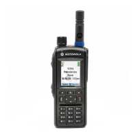
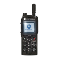
The GPS icon is displayed in the status area when GPS has a location fix. Optionally, your service provider may
configure the radio to always display the GPS icon, even outside of GPS coverage or before the radio has acquired a
location fix, i.e. right after being powered on. In this configuration, the GPS icon blinks until a location fix is
acquired.
This is a selling feature.
GPS Military Grid Reference System
The Military Grid Reference System (MGRS) is the geocoordinate standard used by the military for locating points
on Earth. The MGRS attempts to represent the entire surface of Earth on a worldwide grid. The grid is based on the
UTM (Universe Transverse Mercator) between 80°S and 84°N latitudes and UPS (Universal Polar Stereographic)
systems.
The UTM area is divided into 60 longitudinal strips, each 6° wide. The strips are numbered 1-60 beginning at the
180°-174° W (Zone 1) and increase to the East. Each strip (or Zone) is then divided (horizontally) into 8° latitude
bands.
70 | Services and Features
Send Feedback | | 68015000878-G
 Loading...