Do you have a question about the Samyung AIS-50N and is the answer not in the manual?
Covers essential safety warnings and precautions for using the device.
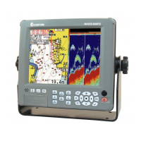
Detailed technical specifications for the AIS-50N unit.
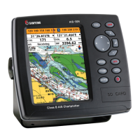
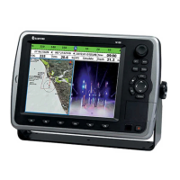
Overview of different screen layouts and information displays.
Checking static, voyage, and GNSS antenna data for own and other vessels.
Accessing AIS-specific functions like messages and initial setup.
Detailed functions related to the chart display and navigation.
Displaying navigation data on a chart with various elements.
Navigating directly to a specific waypoint or point on the chart.
Navigating along a pre-defined sequence of waypoints (a route).
Methods for creating new waypoints from chart or waypoint windows.
Creating and editing routes directly from the chart display.
Managing routes through the dedicated route window interface.
Displaying information about nearby AIS-equipped vessels.
Accessing different AIS data views, like vessels and messages.
Handling and displaying DSC distress calls received from other vessels.
Overlaying distressed vessel locations on the chart.
Navigating to the position of a DSC distress call.
Requesting and displaying vessel positions via DSC polls.
Overlaying polled vessel locations on the chart.
Navigating to the position of a polled vessel.
Configuring core system parameters like language and display.
Changing the language for menus and data screens.
Selecting the chart source between S-MAP or NAVIONICS.
Adjusting chart display properties such as rotation and palette.
Configuring communication settings for external devices.
Configuring communication via NMEA 2000 protocol.
Configuring GPS receiver and related settings.
Selecting the source for GPS signals (Internal or External).
Configuring track recording and log management.
Managing data storage for waypoints, routes, and tracks.
Configuring AIS display and alarm settings.
Filtering AIS vessel display based on type, distance, or speed.
Configuring alarm settings for AIS events.
Setting and managing various alarm conditions.
Configuring alarms for navigation events like arrival and anchor.
Procedures for installing the chart plotter and its components.
Information on connecting various external devices and cables.
Wiring instructions for the power and data cables.
Connecting external devices using the NMEA 0183 protocol.
Connecting external devices using the NMEA 2000 standard.
Final setup procedures and testing the installed unit.