Do you have a question about the Samyung Nf100 and is the answer not in the manual?
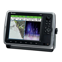
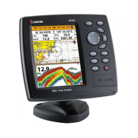
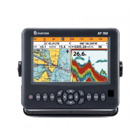
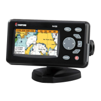
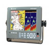
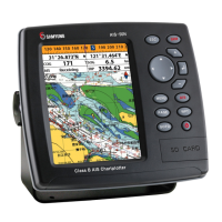
Describes the GPS chart plotter, its features, and connectivity options.
Details the technical specifications of the chart plotter, including general, alarm, GPS, NMEA, and fishfinder parameters.
Lists the main components of the chart plotter and their part numbers for NF100 and N100 models.
Lists optional accessories for the chart plotter, including part numbers and descriptions.
Provides instructions for installing the chart plotter, including bracket mounting.
Explains the function of each button on the front panel of the chart plotter.
Details how to insert and remove NAVIONICS SD cards and USB devices.
Guides the user on how to select a map from NAVIONICS or SAMYUNG MAP.
Describes the simulation mode for practicing usage when satellite signals are unavailable.
Explains how to display and set up the data bar for navigational information.
Describes the compass feature, its display, and how to turn it on/off.
Explains how to display up to four windows, change sizes, add, remove, or replace them.
Describes how users can draw lines or set marks on the chart using the line drawing function.
Details the procedures for turning the chart plotter on and off, including warning messages.
Guides on adjusting display settings like brightness, night mode, and background colors.
Describes how to display a single window from the main menu by selecting a function.
Covers chart display features, including window elements, search functions, and navigation aids.
Introduces the video function, connecting external devices, and playing media.
Introduces the sonar function and how to activate it via system settings.
Introduces the Highway window, showing a 3D view of vessel navigation to a destination.
Explains the Data window for displaying various navigation and engine information.
Introduces waypoints, their purpose, and how to save them.
Introduces routes, their purpose, and how to store them.
Introduces satellite information display and how to acquire GPS signals.
Introduces tide information useful for boaters and fishermen.
Introduces the Automatic Identification System (AIS) for vessel identification and localization.
Introduces the DSC feature, requiring connection to a DSC VHF radio.
Introduces the NAVTEX service for navigational and meteorological information.
Explains how the unit displays engine errors or malfunctions when connected via NMEA 2000.
Guides on accessing system configuration settings for language, chart selection, beep volume, etc.
Details chart settings including rotation, palette, general options, and map datum.
Details sonar settings such as frequency, palette, scroll speed, digit size, fish display, and advanced settings.
Guides on GPS settings including source, DGPS source, static navigation, speed filter, and magnetic variation.
Details settings for tracks and logs, including recording, display, color, and deletion.
Guides on saving, loading, deleting, formatting, and capturing screen shots to memory.
Details AIS settings for display filters, alarm options, and display options.
Guides on setting various alarms like deep, shallow, temperature, low battery, navigation, AIS, and DGPS.
Covers other settings like simulate, waypoint, GPS, units, comms, time, and restore default.
Lists optional sense and equipment like external alarm, GPS antenna, transducer, and cables.
Illustrates and labels the connection ports on the back of the chart plotter.
Provides general information about connecting the GPS chart plotter to NMEA equipment.
Details how to connect the power supply and data cable, including fuse recommendations.
Explains how to connect external alert equipment, including maximum output specifications.
Guides on selecting and installing external or internal GPS antennas.
Explains how the GPS chart plotter connects to external equipment using NMEA 0183.
Mentions the use of DGPS (NMEA0183) and NMEA2000 for data communication.
Explains how to use CCTV, S-VIDEO, external speaker, and microphone with the media port.
Guides on final setup, connecting optional equipment, and verifying GPS operation.