Do you have a question about the Samyung NF560 and is the answer not in the manual?
Procedure for cleaning the chart plotter screen to ensure optimal performance.
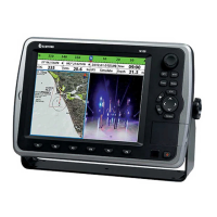
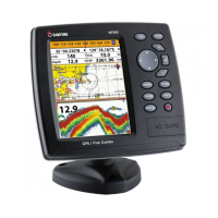
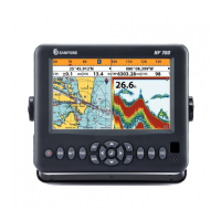
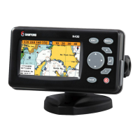
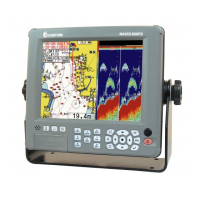
Provides an overview of the GPS chart plotter's features and capabilities.
Details the technical specifications of the N560/NF560 unit.
Lists all items included in the product package for easy verification.
Outlines available optional accessories to enhance unit functionality.
Instructions on how to physically install the chart plotter unit on a boat.
Identifies and explains the function of each button on the control panel.
Guide on inserting and removing the C-MAP MAX SD card for chart data.
Explains how to choose between C-MAP and S-MAP chart data sources.
Describes how to use the simulate mode for practicing unit operation.
How to display and configure navigation information in the data bar.
Explains how the compass function works and how to display it.
Guide on managing and displaying multiple windows on the screen simultaneously.
Instructions on using the Man Overboard (MOB) feature for immediate location marking.
Procedures for turning the unit on and off manually or via auto power.
Customizing display settings like brightness, night mode, and background color.
Overview of the page window and how to select different function icons.
Detailed operations and features related to the chart display and navigation.
Explains the sonar functions, display interpretation, and settings.
Describes the Highway window for 3D navigation to a destination.
How to display and customize various gauge layouts for navigation information.
Managing waypoints, including creation, editing, moving, and deletion.
Planning and managing routes composed of multiple waypoints.
Information on acquiring and displaying GPS satellite status and signal strength.
Displaying tide information, including height and moon phase for specific dates.
Features for viewing and managing Automatic Identification System (AIS) data for other vessels.
Handling DSC distress calls and poll information received from other vessels.
Receiving and displaying navigational and meteorological warnings via NAVTEX.
Monitoring engine status and displaying error messages when connected.
Configuring system-wide settings such as language, beep volume, and factory reset.
Customizing chart display options like rotation, palette, and map features.
Adjusting sonar parameters including frequency, palette, gain, and advanced settings.
Configuring GPS source, DGPS, static navigation, and magnetic variation.
Managing track recording, display, and log settings for navigation history.
Saving, loading, deleting, and formatting data on the user card.
Configuring AIS display filters, alarm options, and display preferences.
Setting up various alarms for depth, temperature, navigation, AIS, and DGPS.
Miscellaneous settings including simulate mode, units, comms, calibrate, and calendar.
Lists optional sensors, instruments, and accessories for installation.
Overview of the unit's connectors and their purposes.
Wiring instructions for the power and data cable connections.
Wiring the chart plotter for external alarm beepers or lights.
Information on internal and external GPS antennas and NMEA connection.
Connecting external devices via NMEA 0183 for data exchange.
Connecting external devices via NMEA 2000 for integrated marine electronics.
Instructions for fitting and connecting sonar transducers and sensors.
Final setup steps, testing connections, and verifying GPS satellite acquisition.