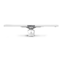
How to fix Simrad Radar when there is no picture on the display screen?
A
Alicia HartAug 16, 2025
If there's no picture on your Simrad Radar display screen, first, try pressing the [PWR] key on the keypad. If that doesn't work, the fuse might be blown. Replace it with a T6.3A slow type (5x20 mm).
A
Anthony VillaAug 19, 2025
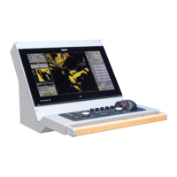
What to do if Simrad CA44 has no normal picture or key operation?
S
steven88Aug 19, 2025
If your Simrad Radar isn't displaying a normal picture or the keys aren't working, try these steps:
* Turn the unit off and then on again.
* Disconnect the power, and then reconnect it.
* If you have a C-MAP chart inserted, remove it in case it's defective.
* Restore the unit to factory presets.
W
William LopezAug 22, 2025
How to adjust Simrad CA44 with too much noise in the display?
M
Michael BuchananAug 22, 2025
If there is too much noise in your Simrad Radar display, adjust the TUNE.
C
Christie WongAug 26, 2025
What to do if Simrad Radar echo picture is normal, but no targets are shown?
P
Peggy JohnsonAug 26, 2025
If the echo picture on your Simrad Radar appears normal but no targets are shown, or you only see random noise, try the following:
1. Change the frequency from the Echo quick menu.
2. Ensure the connectors are correctly connected to the unit.
3. Increase the receiver gain.
4. Adjust the range.
R
ramirezpamelaAug 28, 2025
How to adjust brightness on Simrad CA44 display?
G
Gary WoodsAug 28, 2025
If the image on your Simrad Radar display is too dark or too bright, press [PWR], adjust the light, and then press [ENT].
B
Bonnie SimonAug 31, 2025
Why is there excessive noise in the Simrad CA44 echo picture?
S
Sandra ReynoldsAug 31, 2025
If you're experiencing excessive noise in the echo picture of your Simrad Radar, ensure that all connected equipment is properly grounded to the main unit.
A
adam55Sep 3, 2025
Why does the Simrad CA44 echo image differ from the actual image?
D
Dawn RandolphSep 3, 2025
If the echo image on your Simrad Radar display differs from the actual image, ensure that the ship’s heading and the Zero Range are set correctly.
S
Samantha MorganSep 6, 2025
What to do if Simrad CA44 Radar has no GPS position update?
C
Cynthia MartinezSep 6, 2025
If your Simrad Radar is not getting GPS position updates, try replacing the antenna or the cable.
E
Eric BakerSep 9, 2025
Why is the Simrad CA44 Radar screen update extremely slow?
J
Jessica FriedmanSep 9, 2025
If the screen update on your Simrad Radar is extremely slow, turn off ‘Course line’ for each stored route and turn off ‘Display track’.
G
Gregory DavisSep 12, 2025
Why is all data deleted on my Simrad CA44 Radar after turning it off?
S
Shelly FischerSep 12, 2025
If all data on your Simrad Radar is deleted after turning it off and on, the internal battery likely needs replacement by an authorized dealer. The expected battery lifetime is a minimum of 5 years.