Do you have a question about the Eagle Cuda 240 S/GPS and is the answer not in the manual?
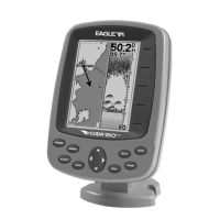
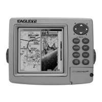
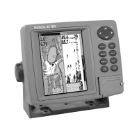
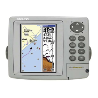
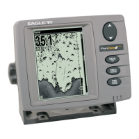
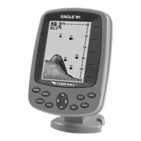
Details the technical capabilities and physical specifications of the Cuda 240 sonar and GPS unit.
Explains text formatting and symbols used in the manual for clear instruction following.
Guides on installing the sonar transducer on various boat hull types and trolling motors.
Provides criteria for choosing an optimal location for the transducer for best sonar performance.
Instructions for correctly connecting the unit to a 12-volt power source, emphasizing safety and noise reduction.
Details methods for securely mounting the sonar unit, either flush in the dash or using a bracket.
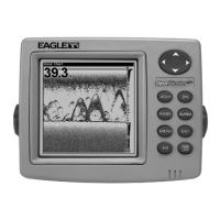
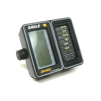
Explains the function of each key on the sonar unit for basic navigation and command execution.
Details commands for major sonar features and options, controlling display and performance.
Introduces the different Sonar page displays and how to switch between them for viewing sonar data.
Explains the noise rejection system that optimizes sonar display clarity by filtering unwanted signals.
Describes available sonar alarms (Fish, Zone, Depth) for alerts and enhanced fishing.
Details how to adjust sonar sensitivity for optimal echo detection and screen readability.
Introduces the simulator mode for practicing sonar functions without being on the water.
Provides steps to diagnose and resolve issues when the sonar unit fails to power up.
Discusses causes and solutions for electrical noise affecting sonar display quality and performance.
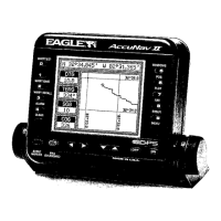
Explains the function of each key for navigating GPS screens and executing commands.
Introduces the different GPS page displays and how to switch between them for navigation data.
Details the Navigation Page's compass rose and data for guiding the user to a destination.
Describes the bird's-eye view of courses and tracks, showing position and navigation data.
Covers creating, saving, editing, and navigating to specific geographic locations stored as waypoints.
Explains how to create, save, and display recorded paths (trails) for retracing routes.
Details planning, saving, editing, and navigating multi-point routes for efficient travel.
Explains how to configure GPS alarms for arrival, off-course, and anchor monitoring.
Guides on selecting display formats for position coordinates (degrees, UTM, MGRS).
Describes using the simulator to practice GPS functions and navigation scenarios.
Details how to restore all unit settings and options to their original factory defaults.
Outlines regulatory compliance information regarding radio frequency emissions and interference.
| Transducer Type | Skimmer |
|---|---|
| Frequency | 200 kHz |
| GPS | Yes |
| Sonar Frequency | 200 kHz |
| Maximum Depth | 600 feet |
| Depth Capability | 600 feet |
| Transducer | Skimmer transducer |
| Weight | 1.5 lbs |
| Display Type | LCD |
| Peak-to-Peak Power | 1500W |
| GPS Type | Internal |
| Water Resistance | Waterproof |