Do you have a question about the Eagle FishElite 502c and is the answer not in the manual?
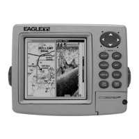
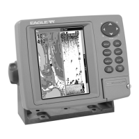
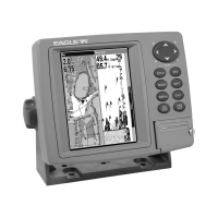
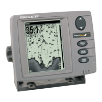
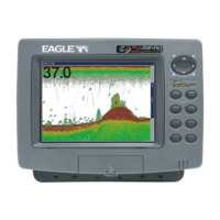
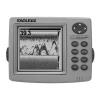
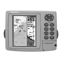
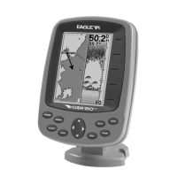
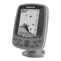
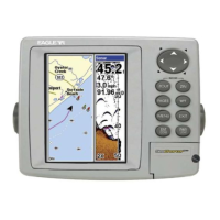
Details the unit's general, sonar, and GPS capabilities and technical specifications.
Explains the fundamental principles behind sonar technology and its operation.
Describes the basic functionality of GPS receivers and satellite navigation.
Provides guidance on interpreting manual conventions, text formatting, and navigation.
Covers the procedures for installing Skimmer transducers on transoms, trolling motors, or hulls.
Details the steps for connecting the unit to a 12-volt battery system for optimal performance.
Explains how to mount the sonar unit using the gimbal bracket or portable options.
Provides instructions for installing and managing MultiMedia or Secure Digital cards.
Identifies and explains the functions of the unit's keys for navigation and operation.
Describes the unit's main menu structure and the functions of its commands.
Explains the different page display modes: Satellite Status, Navigation, Map, and Sonar.
Offers a simplified, step-by-step guide for essential sonar operations and fish finding.
Details the ASP feature for noise rejection and display optimization.
Explains the setup and function of sonar alarms: Fish, Zone, Shallow, and Deep alarms.
Covers adjusting the unit's sensitivity for optimal echo reception and display clarity.
Guides on using the built-in simulator for practicing sonar features and functions.
Provides steps to diagnose and resolve issues related to the unit failing to power on.
Offers solutions for common operational problems like freezing or erratic behavior.
Addresses issues with poor bottom signals or inconsistent digital readings.
Explains how to identify and minimize electrical noise affecting sonar performance.
Details the unit's satellite lock-on status and position acquisition.
Describes the compass rose display for direction of travel and waypoints.
Explains the bird's-eye view map display showing course and track.
Provides a concise, step-by-step guide for fundamental GPS operations.
Covers creating, navigating to, and deleting icons on the map screen.
Explains how to create, save, and navigate GPS routes using waypoints.
Details managing trails, including saving, displaying, and navigating them.
Covers creating, saving, editing, and managing waypoints for navigation.
Configures GPS alarms like Arrival, Off Course, and Anchor alarms.
Allows choosing display formats for position coordinates like Degrees, Minutes, UTM.
Adjusts the display's contrast and brightness for optimal visibility.
Manages key press sounds, alarm sounds, volume, and alarm styles.
Provides settings to customize trail creation, update criteria, and trail visibility.
Guides on searching for specific addresses by street, city, or postal code.
Explains how to search for POIs like restaurants, landmarks, and lodging.
Details searching for specific streets or intersections on the map.
Lists the various geodetic datums supported by the unit for map referencing.
| Display Resolution | 480 x 480 pixels |
|---|---|
| Depth Capability | 800 ft (244 m) |
| GPS | Yes |
| Waterproof Rating | IPX7 |
| Display Size | 5 inches |
| Transducer Frequency | 200 kHz |
| Sonar Frequency | 200 kHz |