Do you have a question about the Eagle FishElite 642c and is the answer not in the manual?
Covers unit mounting, transducer selection, and installation methods.
Installing speed/temperature sensors and connecting power.
Unit mounting, portable use, MMC/SD card installation, and data transfer.
Explains unit keys, power, main menu, and page navigation.
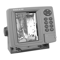
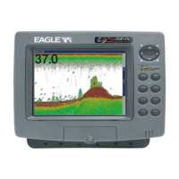
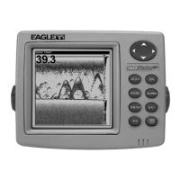
Details Sonar Page modes and provides a quick reference for basic operation.
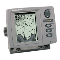
Discusses sensitivity, chart modes, and fish symbol interpretation.
Covers ASP, noise rejection, alarms, and sensitivity adjustments.
Adjusting chart speed, ColorLine, depth ranges, and page displays.
Fish ID, FishTrack, frequency, data logging, overlay, and resetting options.
Addresses unit issues, signal problems, noise, and interference.
Explains unit keys, power, main menu, and GPS page navigation.
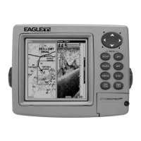
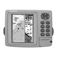
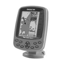
Explains GPS pages and provides a quick reference for basic GPS operations.
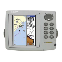
Discusses speed, track, bearing, map orientation, and coordinate systems.
How to measure distances, manage icons, create/navigate routes and trails.
Transferring data and canceling navigation commands.
Setting up alarms, system defaults, NMEA, coordinate systems, and map fixes.
Customizing page displays and using the GPS simulator.
Initiating searches and finding addresses, streets, and intersections.
How to find map places, POIs, highways, and waypoints.
FCC compliance, warranty, service, and accessory ordering details.
| Display Size | 5 inches |
|---|---|
| Resolution | 480 x 480 pixels |
| Sonar Frequency | 200 kHz / 83 kHz |
| GPS | Yes |
| Chartplotting | Yes |
| Sonar Type | Dual Beam |
| Waterproof Rating | IPX7 |
| Display Type | Color TFT |
| Operating Temperature | 14°F to 122°F |