Do you have a question about the Garmin Colorado 300 and is the answer not in the manual?
Explains how to operate the device's primary navigation control.
Guides the initial setup process for the device upon first use.
Continues the initial setup process, including language and time zone selection.
Introduces the shortcut menu for accessing device features.
Instructions for creating, saving, and managing waypoints.
Instructions for viewing and interacting with the map display.
How to adjust map scale and move across the map view.
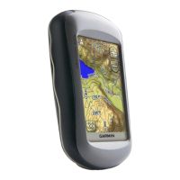
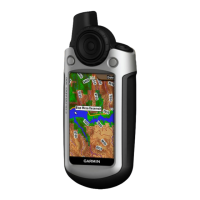
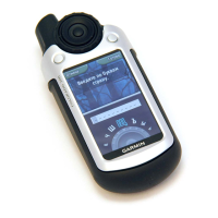
Overview of the device and its key components.
Step-by-step guide for inserting batteries into the device.
Instructions for powering the device on and off.
Detailed explanation of how to operate the device's control.
Accessing and utilizing the shortcut menu for quick feature access.
Guide to marking, saving, and managing waypoints.
Instructions on how to set and follow navigation routes.
Instructions for viewing and interacting with the map display.
Guide to using the device for geocaching activities.
Steps to calibrate the electronic compass for accuracy.
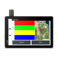
How to record, archive, and manage track logs.
Creating and managing custom navigation routes.
Procedures for calibrating the altimeter and compass.
Instructions for connecting the device to a PC via USB.
Guide to installing and using SD cards for storage.
| Sport (fitness, running) | No |
|---|---|
| Marine (chartplotters, sounders) | Yes |
| Form factor | Handheld |
| Routes quantity | 50 |
| Tracks quantity | 20 |
| Number of waypoints | 1000 |
| Display resolution | 400 x 240 pixels |
| Display number of colors | 65536 colors |
| Display size (HxV) (imperial) | 3 \ |
| USB 2.0 ports quantity | 1 |
| Battery type | AA |
| Battery life (max) | 15 h |
| Battery technology | Nickel-Metal Hydride (NiMH) |
| Map storage | Internal storage |
| Depth | 139 mm |
|---|---|
| Width | 60 mm |
| Height | 35 mm |
| Weight | 206.9 g |